- Admin
- Artist Showcase
- Christmas
- Halloween
- Moonbeam & Laser
- Our Services
- Sale
- Spring Time
- Emporium
SUBCATEGORIES:


Posts found
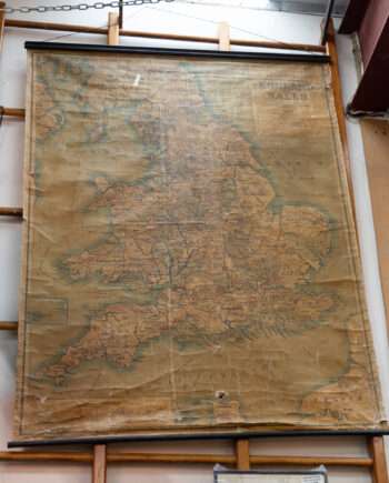
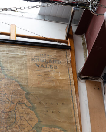
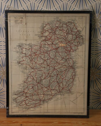
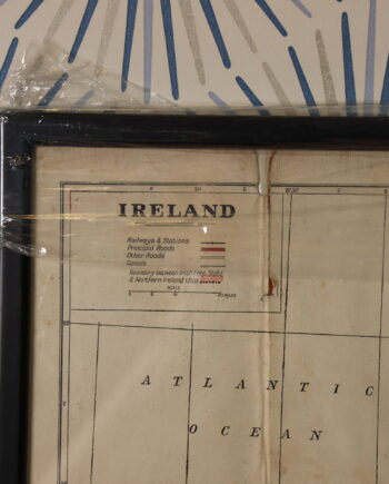
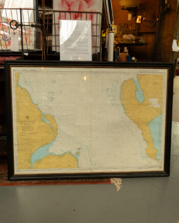
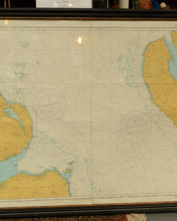
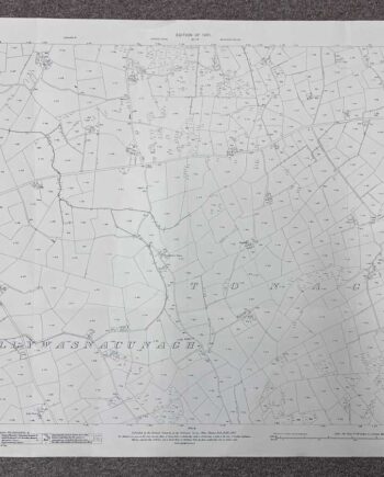
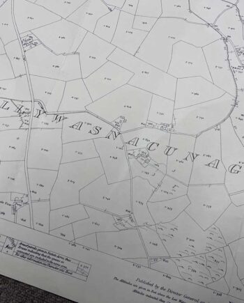
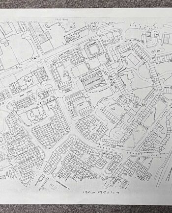
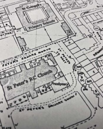
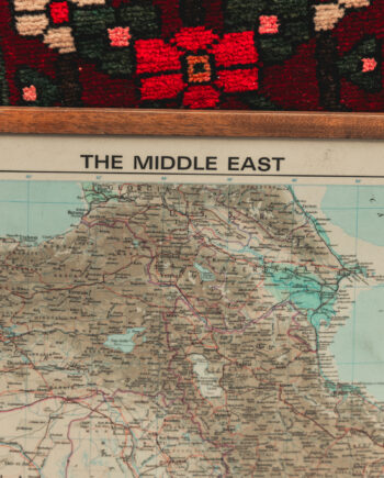
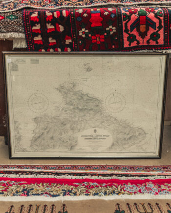
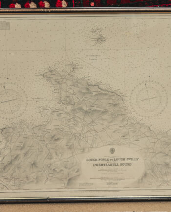
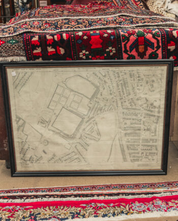
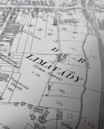
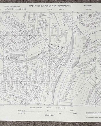
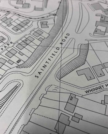
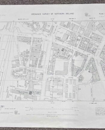
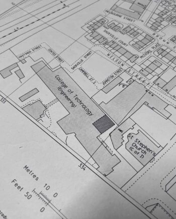
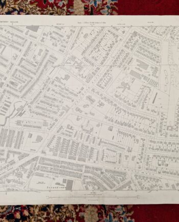
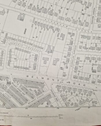
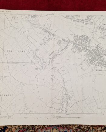
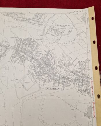
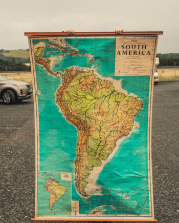
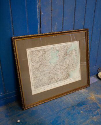
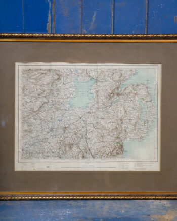
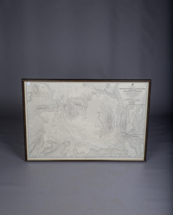
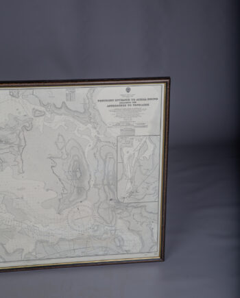
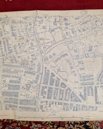
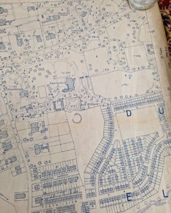
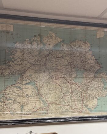
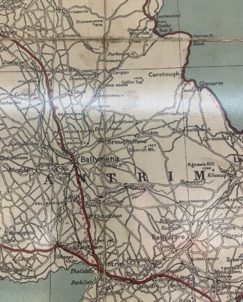
Discover the World: Vintage Maps Blog- Unveiling Treasures of Cartographic History
Exploring the Past: Navigating Through Time with Old Maps: Discover Beautiful Vintage Maps In an[...]
12
Mar
Mar

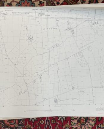
&url=https://onthesquareemporium.com/product/vintage-ordnance-survey-map-of-orlock-groomsport/&media=https://onthesquareemporium.com/wp-content/uploads/2022/12/Orlock-Groomsport-1-1200x1200.jpg)
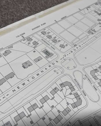
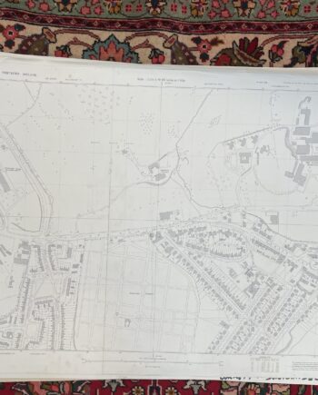
&url=https://onthesquareemporium.com/product/vintage-ordnance-survey-map-of-dundonald-upper-newtownards-road/&media=https://onthesquareemporium.com/wp-content/uploads/2022/12/Dundonald-Upper-Newtownards-Rd-1-1-1200x1200.jpg)
&url=https://onthesquareemporium.com/product/vintage-ordnance-survey-map-of-belfast-skegoneill-avenue/&media=https://onthesquareemporium.com/wp-content/uploads/2022/12/Belfast-Skegoneill-Avenue-1-1-1200x1200.jpg)
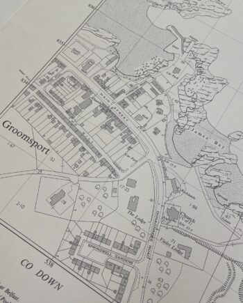
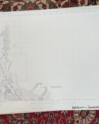
&url=https://onthesquareemporium.com/product/vintage-ordnance-survey-map-of-donaghadee-harbour/&media=https://onthesquareemporium.com/wp-content/uploads/2022/12/Donaghadee-Harbour-1-1-1200x1200.jpg)
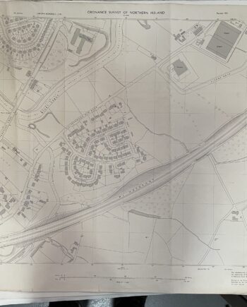
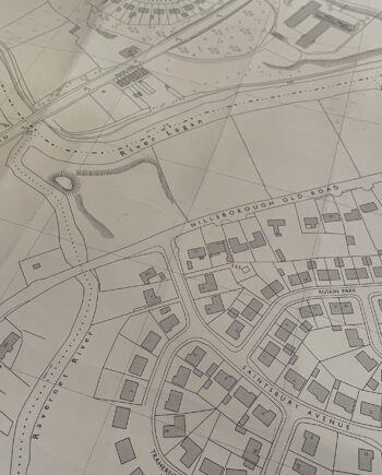
&url=https://onthesquareemporium.com/product/vintage-ordnance-survey-map-of-lisburn-hillsborough-old-road/&media=https://onthesquareemporium.com/wp-content/uploads/2022/12/Lisburn-Hillsborough-Old-Road-1-1200x1200.jpg)
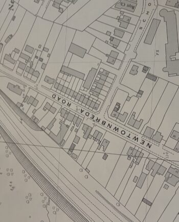
&url=https://onthesquareemporium.com/product/vintage-ordnance-survey-map-of-newtownbreda-belfast/&media=https://onthesquareemporium.com/wp-content/uploads/2022/12/Newtownbreda-Belfast-1-1200x1200.jpg)
&url=https://onthesquareemporium.com/product/vintage-ordnance-survey-map-of-lambeg-belsize-road/&media=https://onthesquareemporium.com/wp-content/uploads/2022/12/Lambeg-Belsize-Road-1-1200x1200.jpg)
&url=https://onthesquareemporium.com/product/vintage-ordnance-survey-map-of-lambeg-magheralave-road/&media=https://onthesquareemporium.com/wp-content/uploads/2022/12/Lambeg-Magheralave-Road-1-1200x1200.jpg)
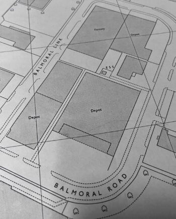
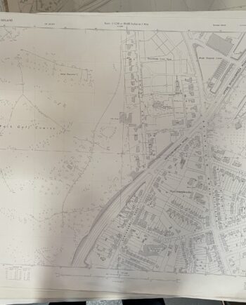
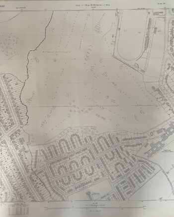
&url=https://onthesquareemporium.com/product/vintage-ordnance-survey-map-of-belfast-balmoral-golf-course/&media=https://onthesquareemporium.com/wp-content/uploads/2022/12/Belfast-Balmoral-Golf-Course-1-1200x1200.jpg)
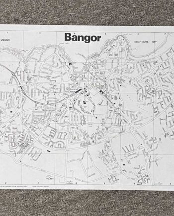
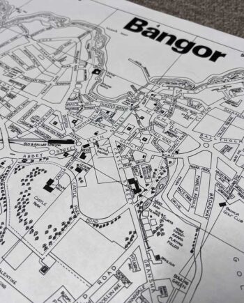
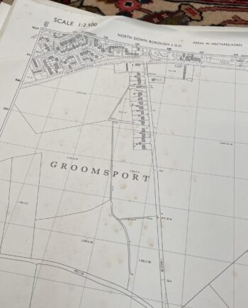
&url=https://onthesquareemporium.com/product/vintage-ordnance-survey-map-of-bangor-castle-park/&media=https://onthesquareemporium.com/wp-content/uploads/2022/11/img_7782-1200x1200.jpeg)