1 / 5
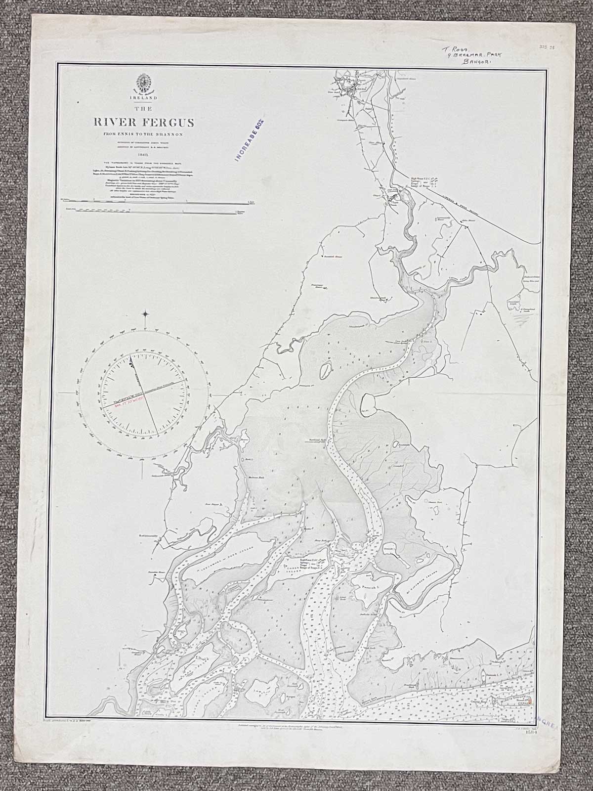
Plan of River Fergus from Ennis to the Shannon
Published June 11th, 1844
The map covers River Fergus from Ennis, right down to Cannon Island
Landmarks include Ennis, Clare, Ballynacally, Innismore or Deer Island, Coney Island, McNaughton Island and Horse Island
Dimensions: Length 70cm x 52cm (approx.)
Approximate area:
Have a question about this piece? Need more details or photos? Fill out the form below and we'll get back to you as soon as possible.