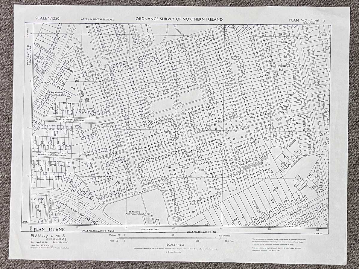
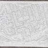
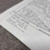
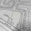
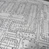
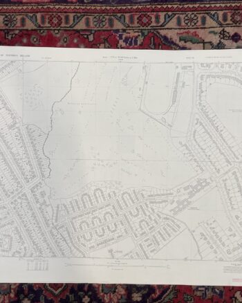
Vintage 1967 Ordnance Survey Map of Castlereagh
£30.00
Only 1 left in stock
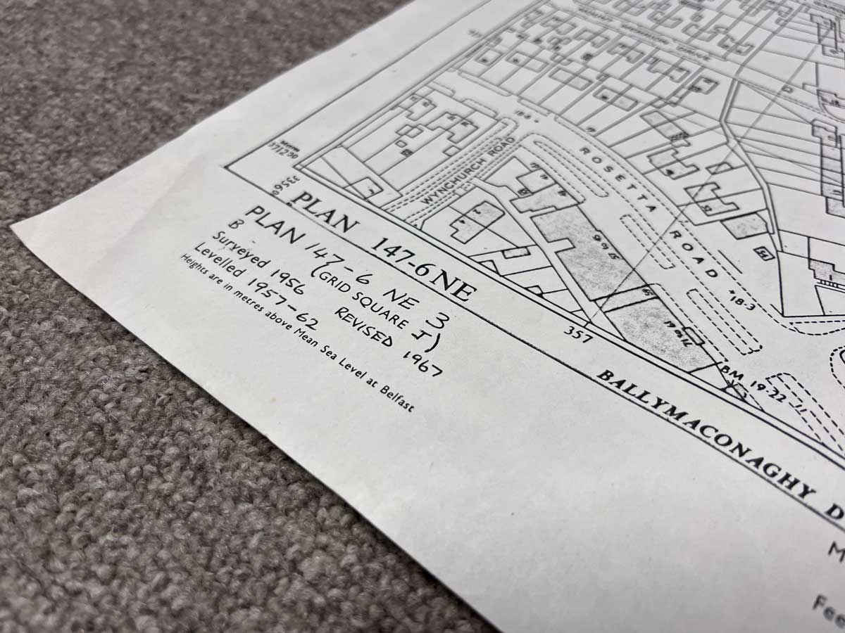
Plan 147-6 NE3, Grid Square J
Surveyed 1956, revised 1967
Printed 1985
1:1250 scale
The map covers an area between Mount Merrion Avenue and Cregagh Road
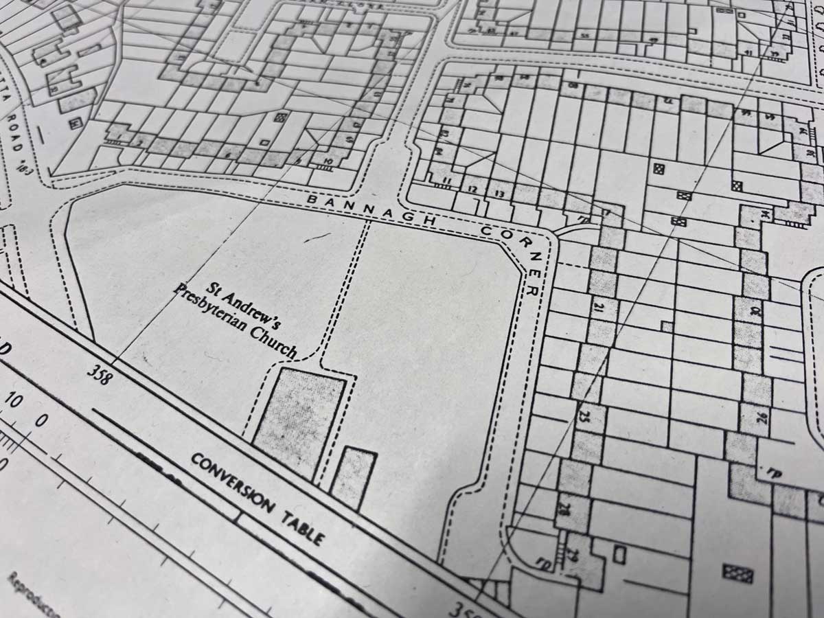
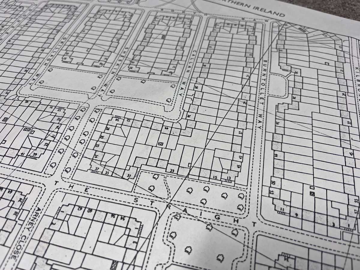
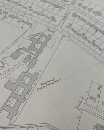
Landmarks include Mount Merrion Free Presbyterian Church, St. Andrew’s Presbyterian Church, Mount Merrion Gardens and Drive, Cooneen Way, The Straight, Burntollet Way and Kilbroney Bend
Dimensions: Length 56cm x 43cm (approx.)
Approximate area:
Enquire about Vintage 1967 Ordnance Survey Map of Castlereagh
Related products


£35.00


£30.00


£25.00
Wall Art
£50.00


£30.00


£25.00


£30.00


£35.00


£30.00


£30.00
£30.00