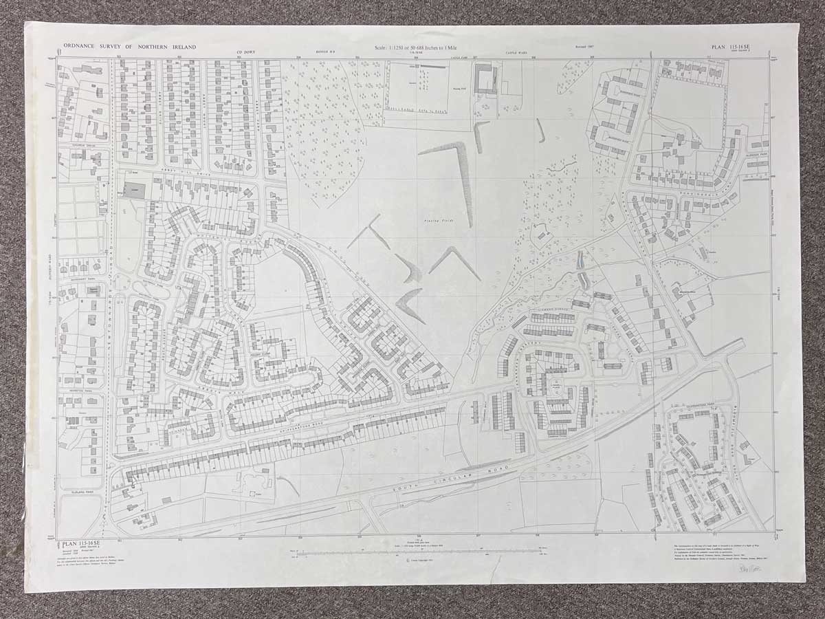


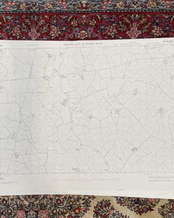
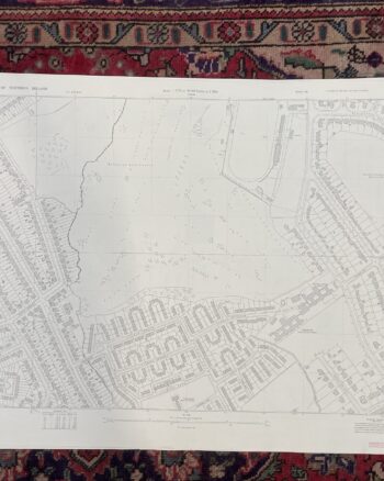
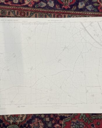
Vintage 1967 Ordnance Survey Map of Bangor, County Down
£35.00
Only 1 left in stock
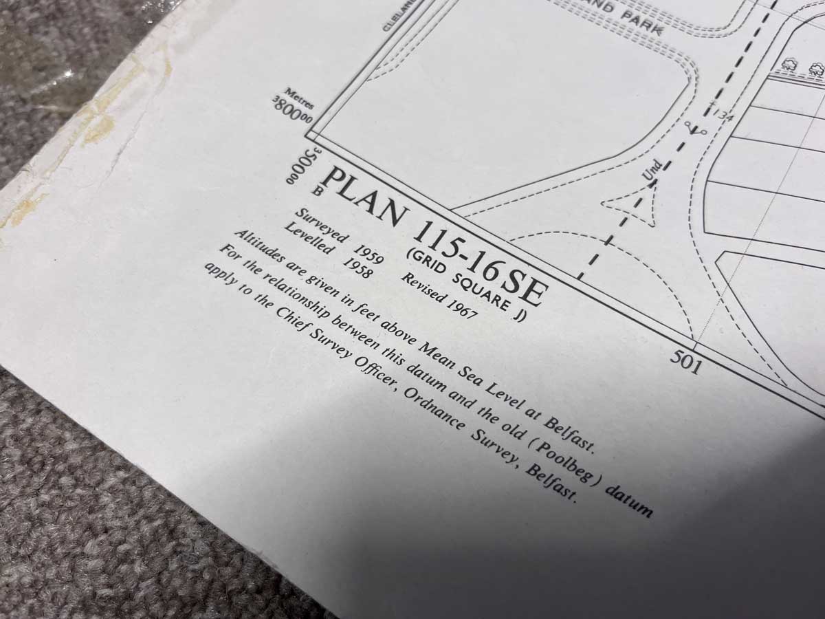
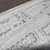
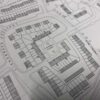
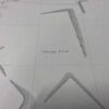
Plan 115-16 SE, Grid Square J
Surveyed 1959, revised 1967
Printed 1967
1:1250 scale
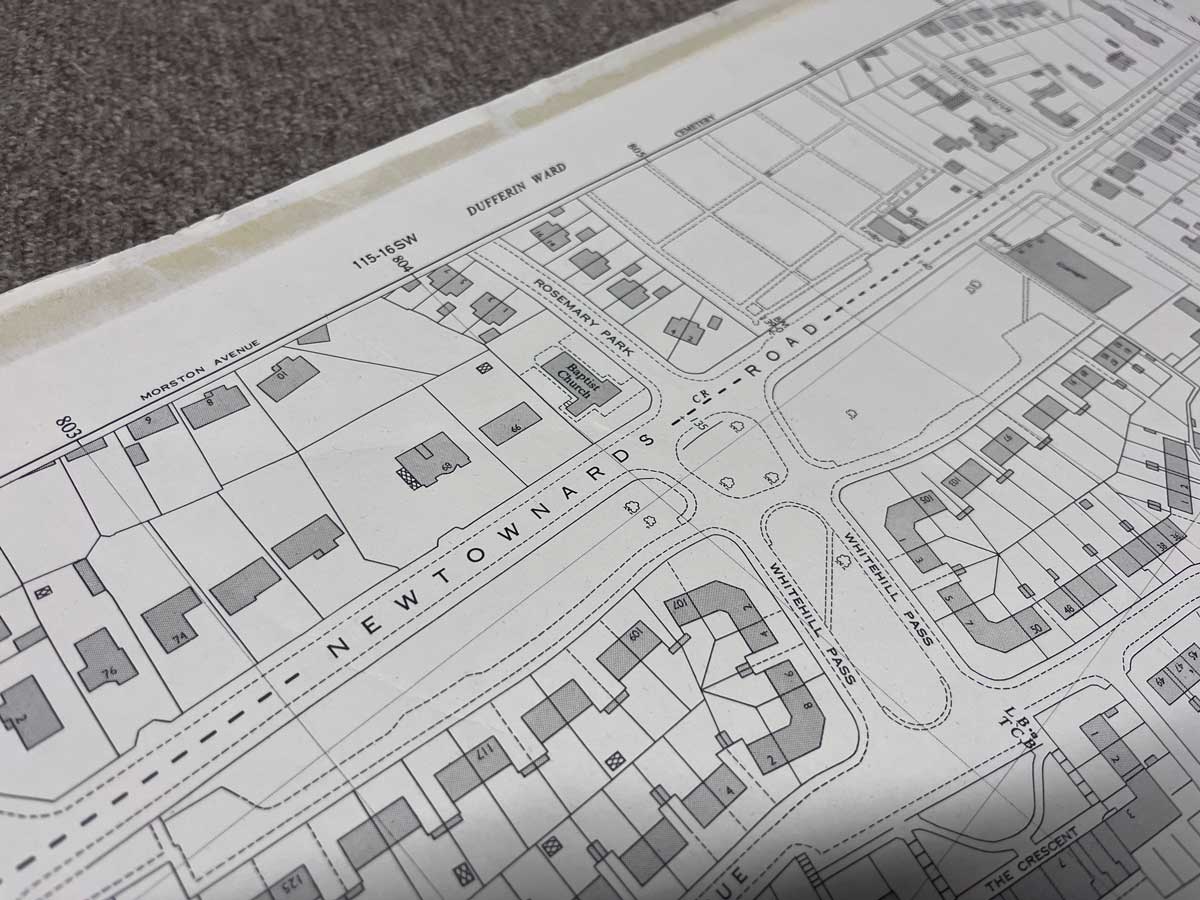
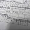
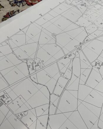
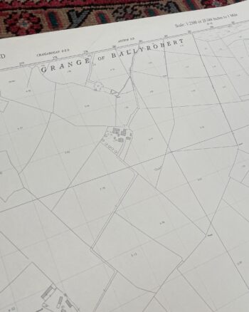
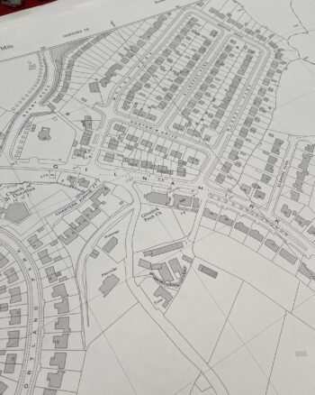
The map covers an area between Newtownards Road to Bloomfield Road
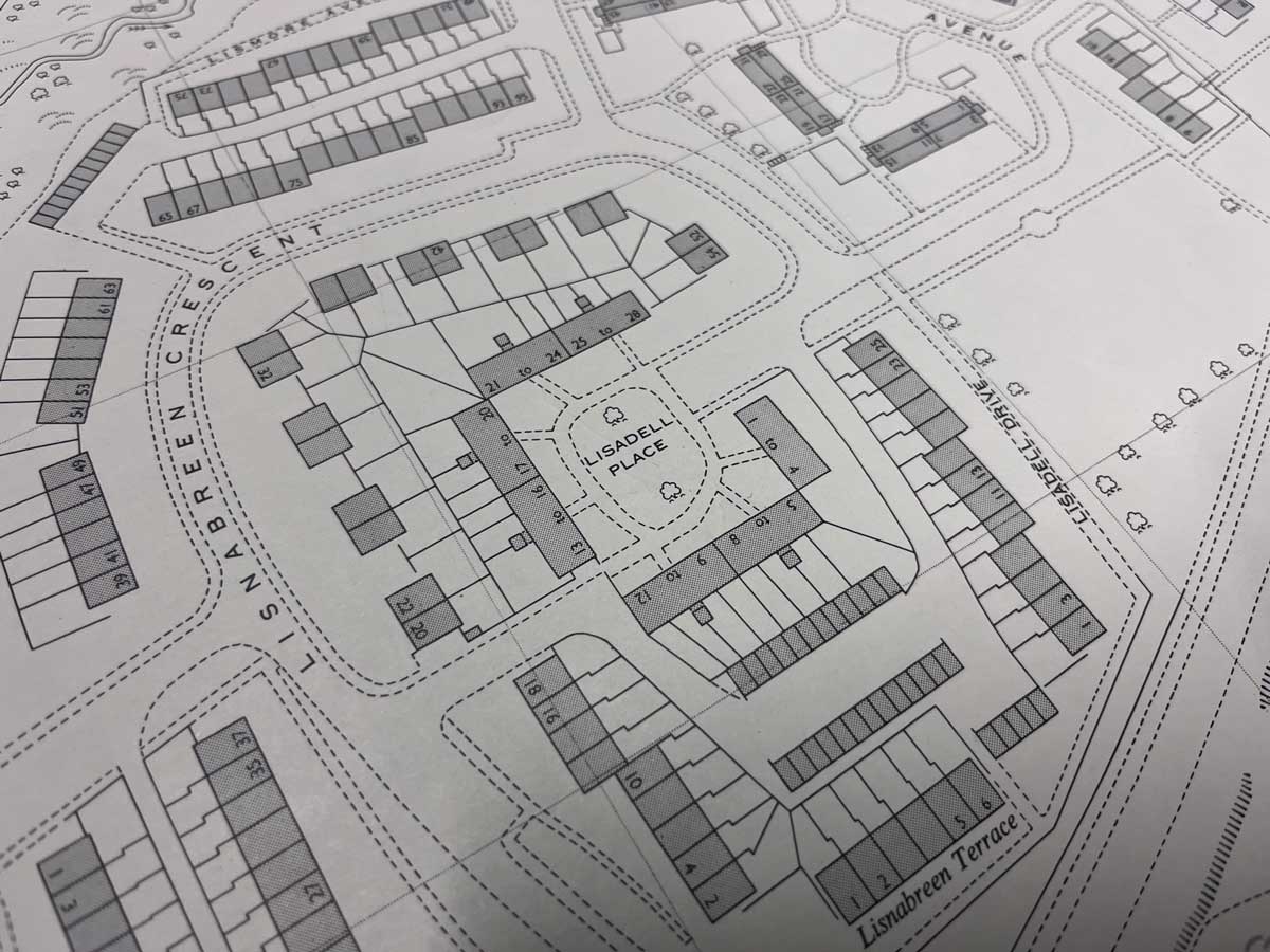
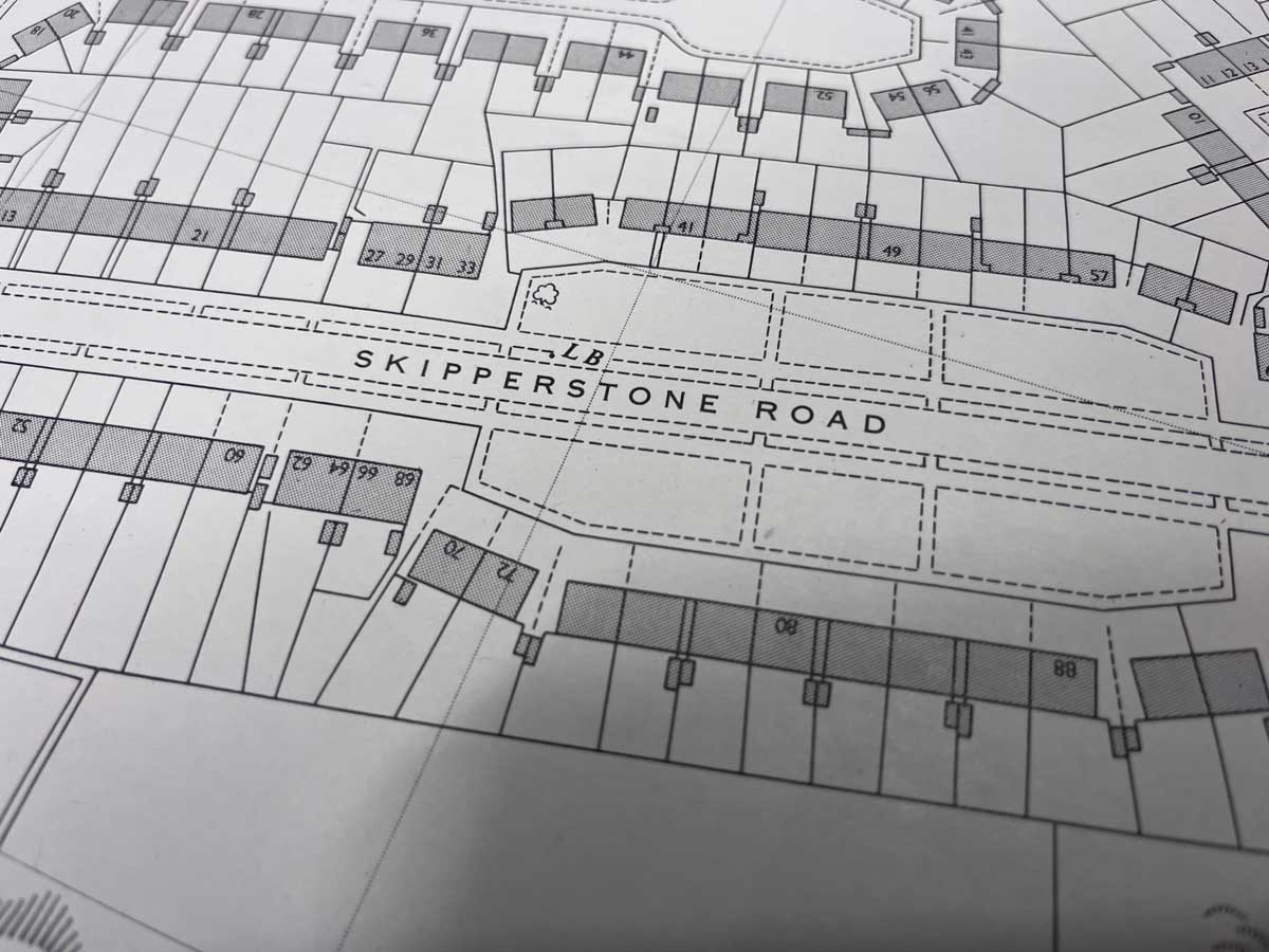
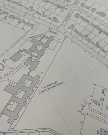
Landmarks include South Circular Road, Abbey Hill Drive, Whitehill Drive, Skipperstone Road, Sunningdale Park and various other streets and avenues.
Dimensions: Length 105cm x 76cm (approx.)
Approximate area:
Enquire about Vintage 1967 Ordnance Survey Map of Bangor, County Down
Related products


£30.00


£35.00


£30.00


£35.00
£25.00
£30.00
£25.00


£25.00
£25.00

£30.00
Wall Art
£50.00


£30.00