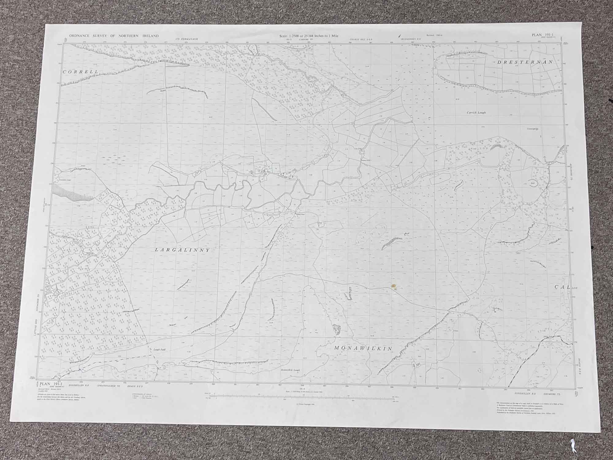
1 / 5
Plan 191-1, Grid Square H
Surveyed 1905-6, revised 1965-6
Printed 1969
1:2500 scale
The map covers a portion of Big Dog Forest, County Fermanagh and a few small loughs, all just Northwest of Derrygonnelly
Landmarks include Largalinny, Monawilkin, Lough Fadd, Monawilkin Lough and Carrick Lough
Dimensions: Length 104cm x 76cm (approx.)
Approximate area:
Have a question about this piece? Need more details or photos? Fill out the form below and we'll get back to you as soon as possible.