
1 / 4
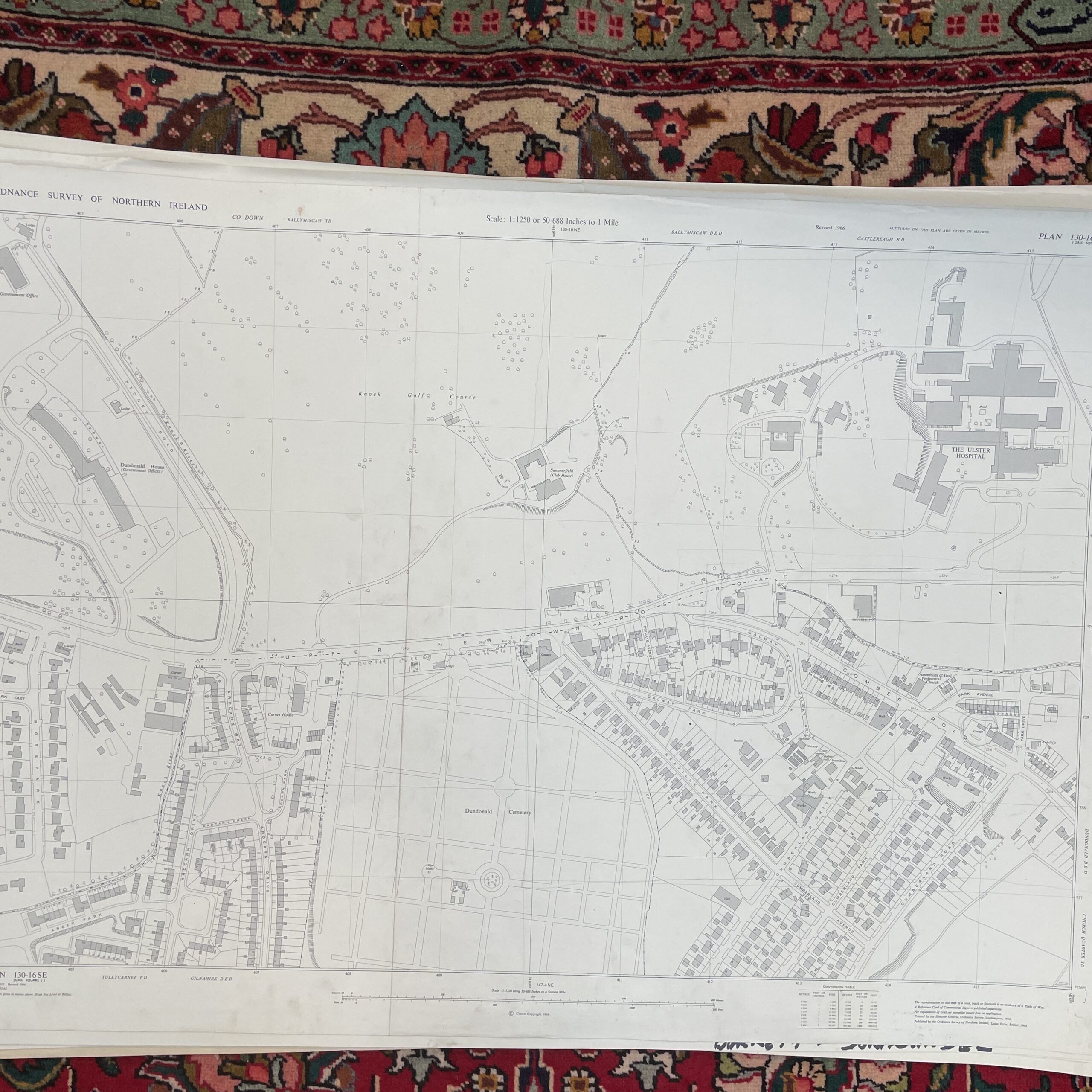
An ordnance survey map of Dundonald (Upper Newtownards Road), Co.Down, Northern Ireland.
103cm x 75cm
Have a question about this piece? Need more details or photos? Fill out the form below and we'll get back to you as soon as possible.
You May Also Like
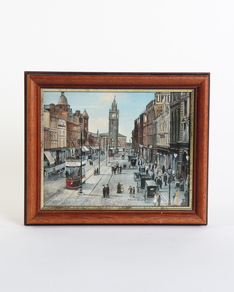
Vintage High Street Belfast Framed Print by J. Whyte
£45.00
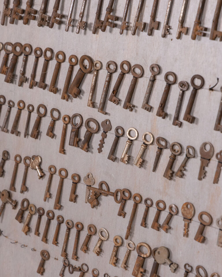
Rustic Vintage Key Collection Mounted on Wooden Display Board
£195.00
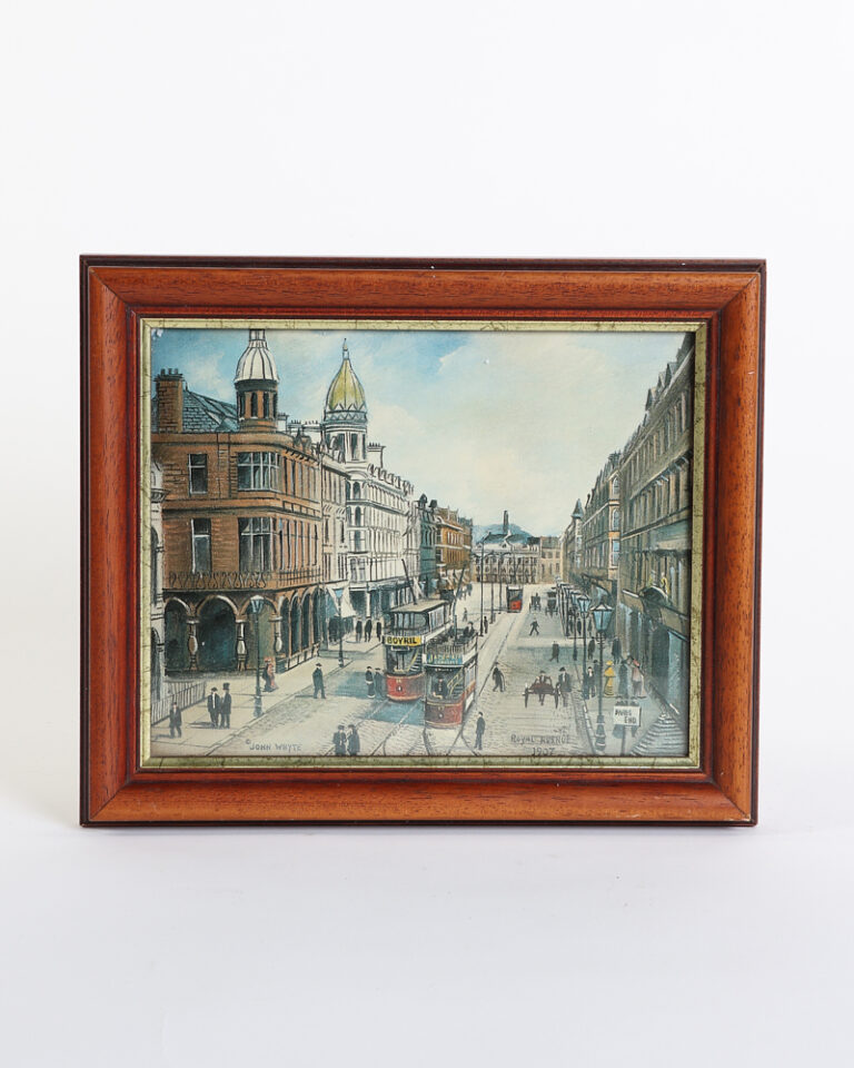
Vintage John Whyte Royal Avenue 1907 Framed Print
£45.00
SALE
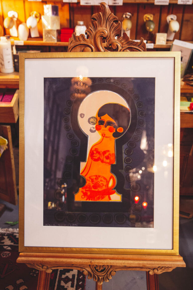
Frederic Menguy 'Indescretion' Original Lithograph
Original price was: £495.00.£396.00Current price is: £396.00.