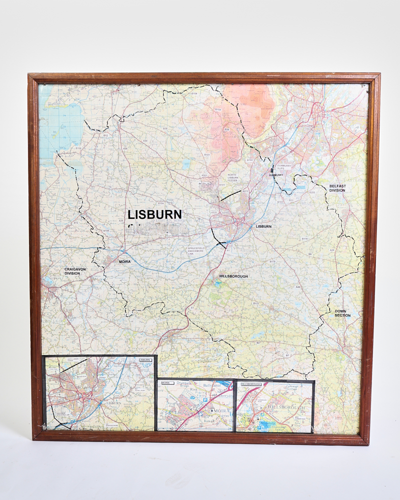
Vintage Framed Lisburn Northern Ireland Road Map with Wood Frame
Vintage framed road map of Lisburn, Northern Ireland, featuring detailed geographical data. Presented in a warm brown wood frame. Good condition.
Delivery is quoted for this piece
Because of its size, we work out delivery properly for your address rather than guessing with a flat rate. Add it to your basket and choose Contact us to get a shipping quote at checkout. Most quotes come back the same or next working day.
In stock
Secure Packaging
Authentic Antiques
Expert Support
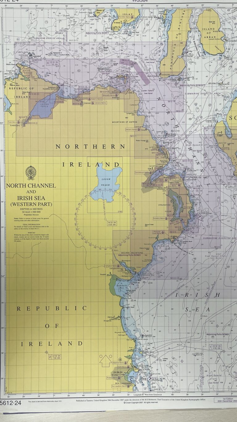
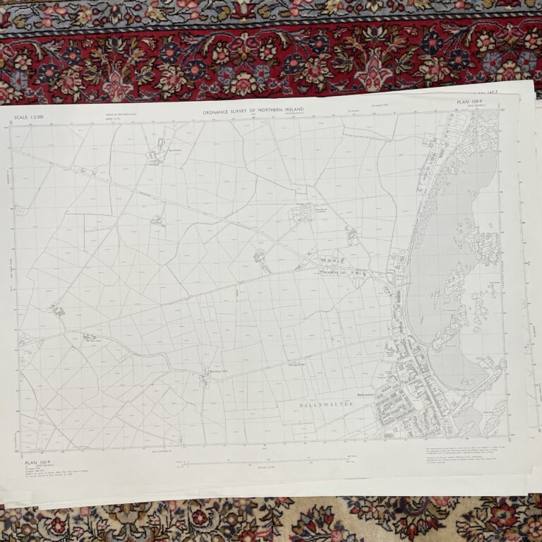
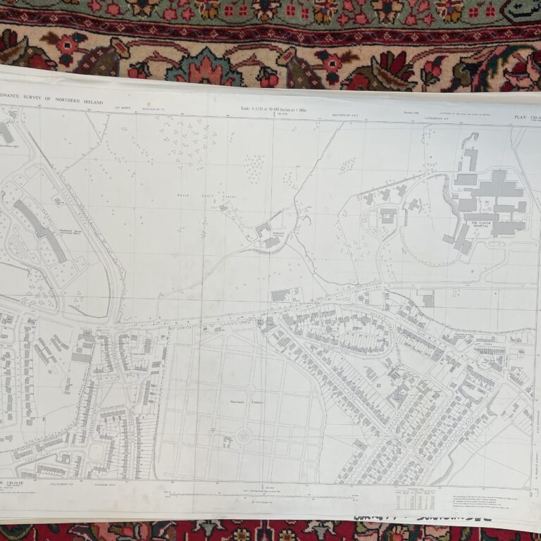
This vintage framed map showcases the Lisburn area of Northern Ireland, providing a detailed snapshot of its road network and geographical features from the mid-20th century, likely the 1970s. The main map prominently features 'Lisburn' and outlines administrative divisions such as 'Belfast Division', 'Craigavon Division', and 'Down Section'. Smaller inset maps at the bottom offer more detailed views of specific areas including Lisburn, Moira, and Hillsborough. The colour palette includes a cream base for the land, with blue indicating waterways, and various shades of red and yellow highlighting roads and urban areas. The map is housed within a simple, warm brown wooden frame, which shows some expected signs of age and wear consistent with its vintage nature, including minor scuffs and marks that add to its character. This unique piece of wall art would be an excellent display in a living room, home office, or library. This was salvaged from a police station!
Have a question about this piece? Need more details or photos? Fill out the form below and we'll get back to you as soon as possible.