1 / 4
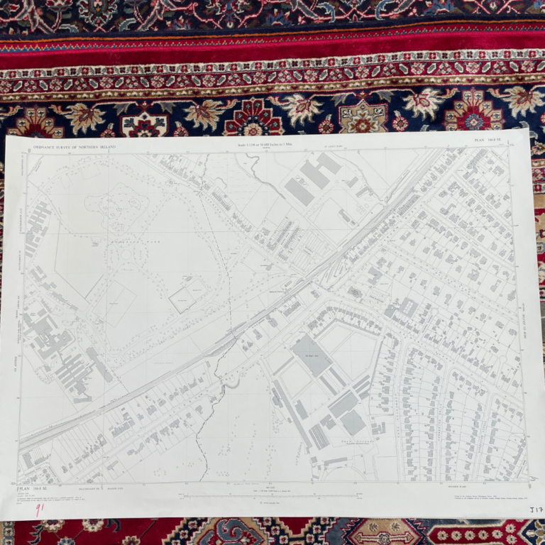
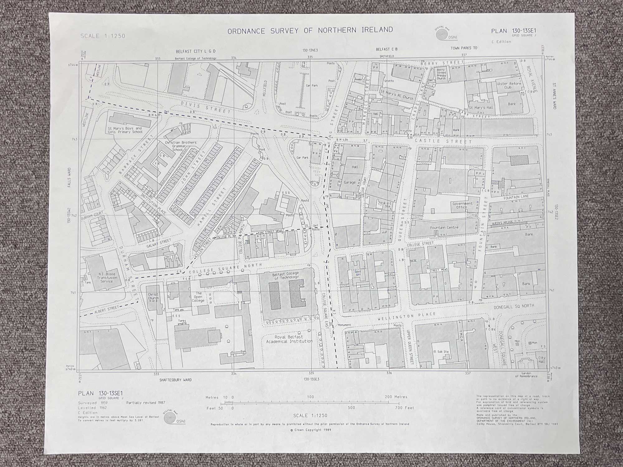
Plan 130-13 SE1
Surveyed 1959, partially revised 1987
Published in 1989
1:1250 scale
The map covers a portion of the BT1 area between the Westlink and Royal Avenue
Landmarks include Belfast College of Technology (now known as John Bell House), Fountain Centre, Divis Street, Castle Street, Wellington Place, Fountain Street and Donegall Square North
Dimensions: Length 55cm x 46cm (approx.)
Approximate area:
To keep up to date with all that goes on at the Emporium follow us on Facebook or Instagram.
Have a question about this piece? Need more details or photos? Fill out the form below and we'll get back to you as soon as possible.