1 / 7
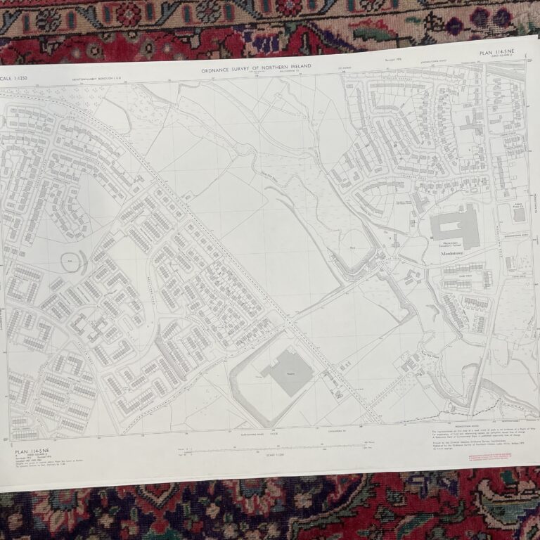
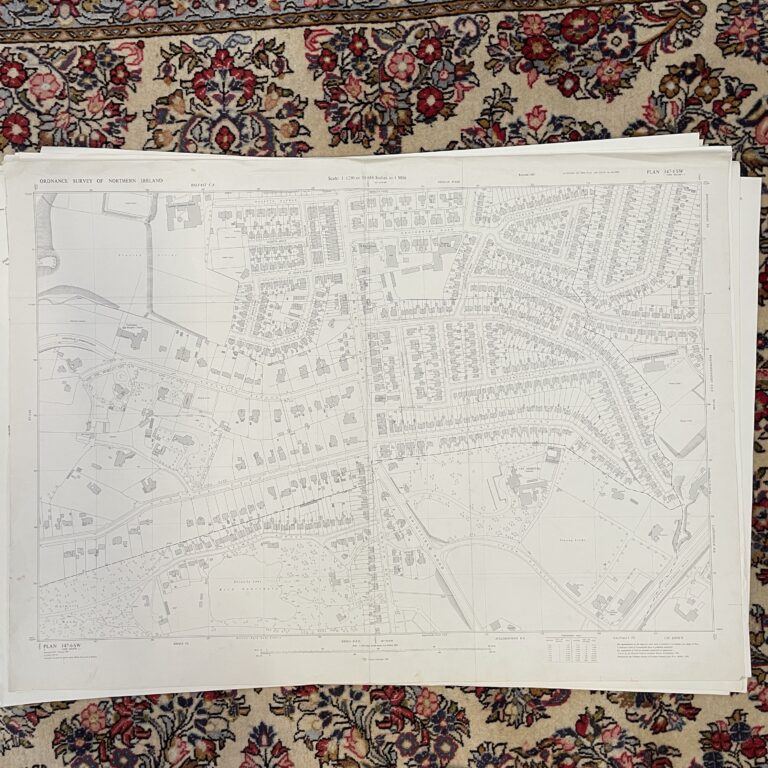
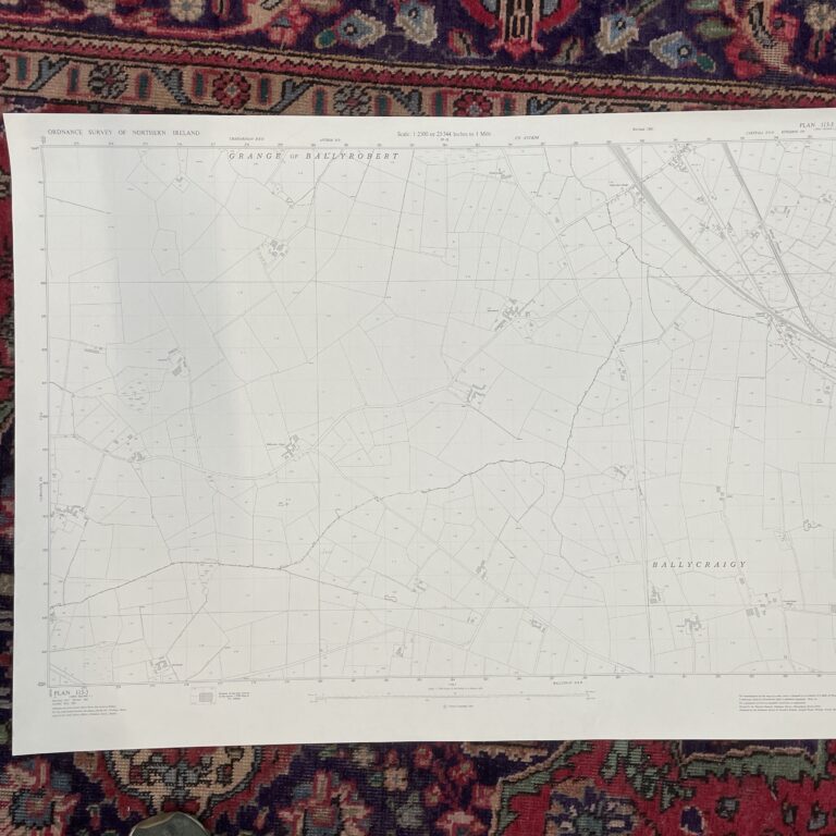
Plan 146-8 NE, Grid Square J
Surveyed 1958, revised 1970
1:1250 scale
The map covers a large portion of land between the M1 motorway and Lisburn Road, prior to the construction of Boucher Road and the surrounding amenities.
Landmarks include the former Shane Park Rugby Football Ground, The Police Authority Workshops just off Lislea Drive and the M1 motorway/Balmoral Interchange.
Dimensions: Length 104cm x 76cm (approx.)
Approximate area:
Have a question about this piece? Need more details or photos? Fill out the form below and we'll get back to you as soon as possible.