1 / 4
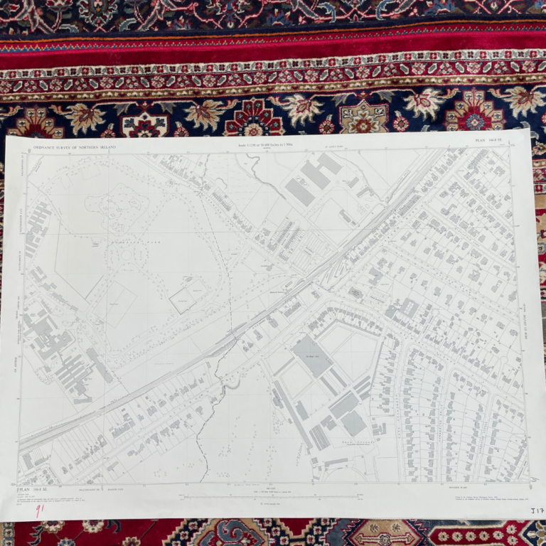
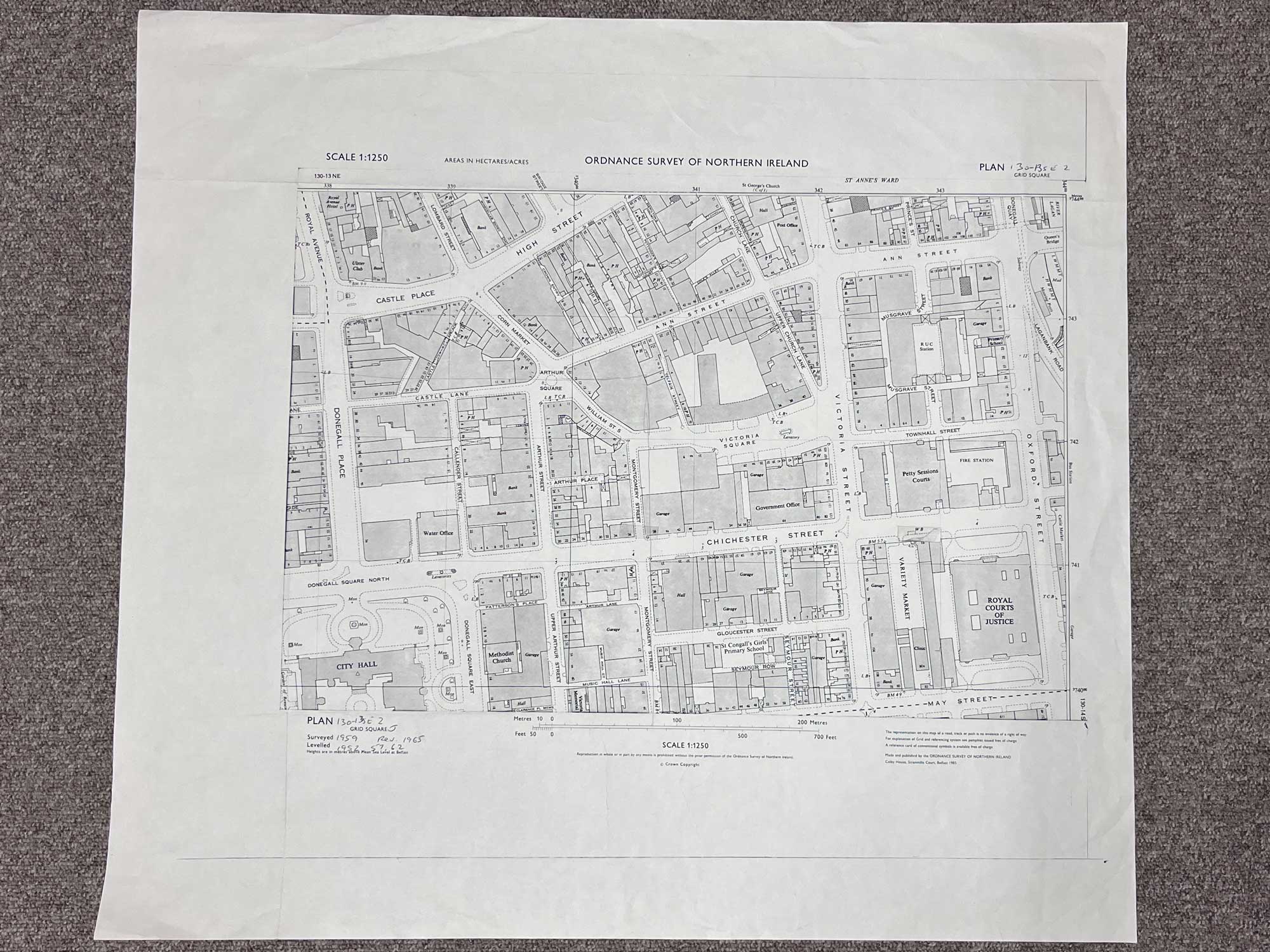
Plan 130-13 SE, Grid Square J
Surveyed 1959, revised 1965
1:1250 scale
This detailed map covers some of the BT1 postcode of Belfast City Centre
Landmarks include City Hall, Royal Courts of Justice, Arthur Square, Victoria Square, RUC station and more
Dimensions: Length 65cm x 60cm (approx.)
Approximate area:
Have a question about this piece? Need more details or photos? Fill out the form below and we'll get back to you as soon as possible.