1 / 3
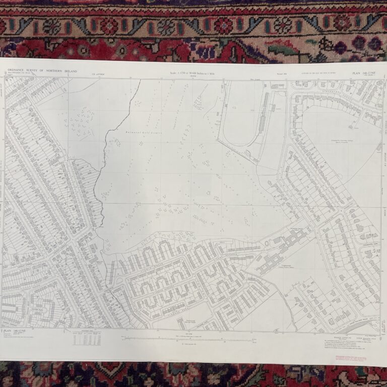
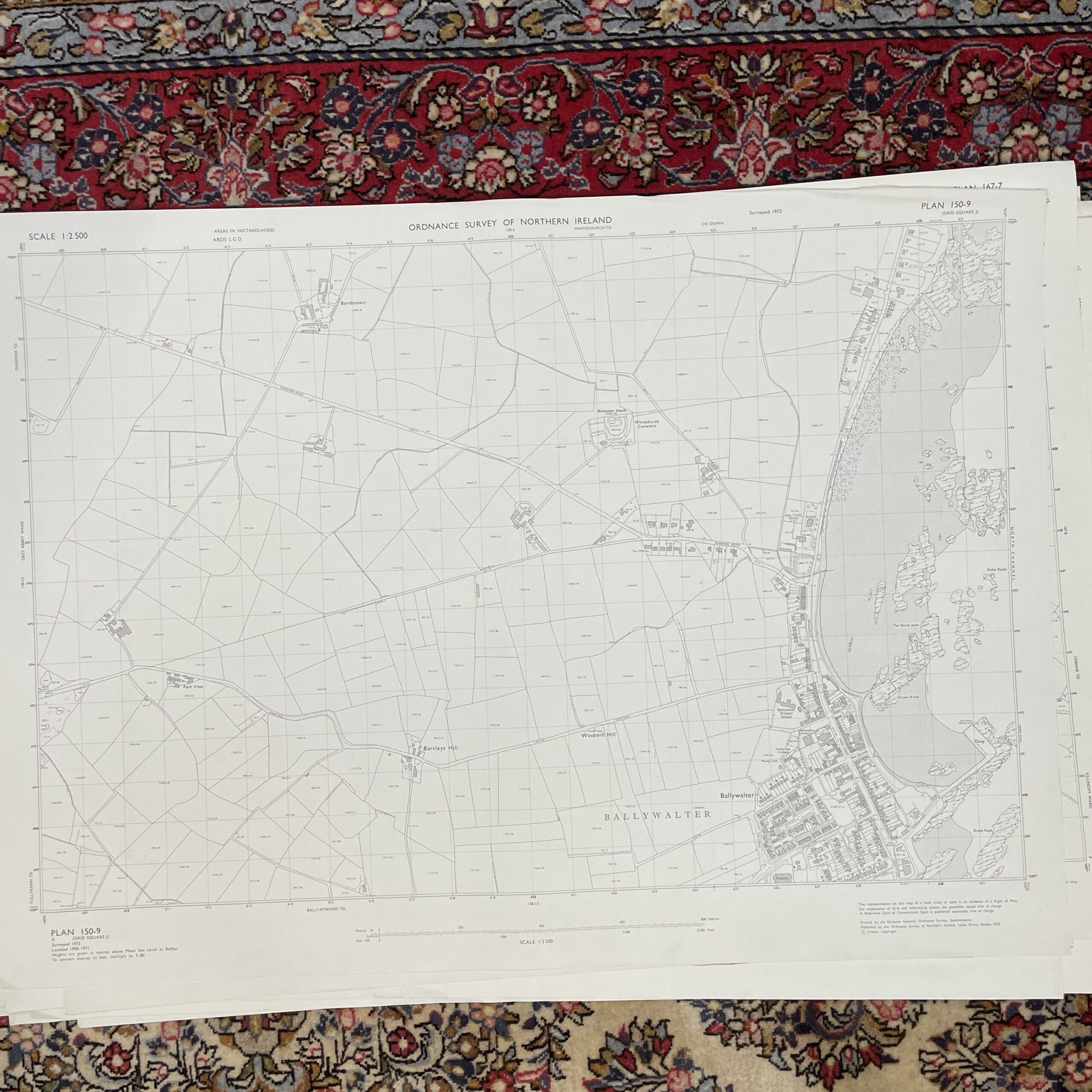
An ordnance survey map of Ballywalter Northern Ireland. Surveyed 1972.
103cm x 75cm.
Have a question about this piece? Need more details or photos? Fill out the form below and we'll get back to you as soon as possible.