1 / 4
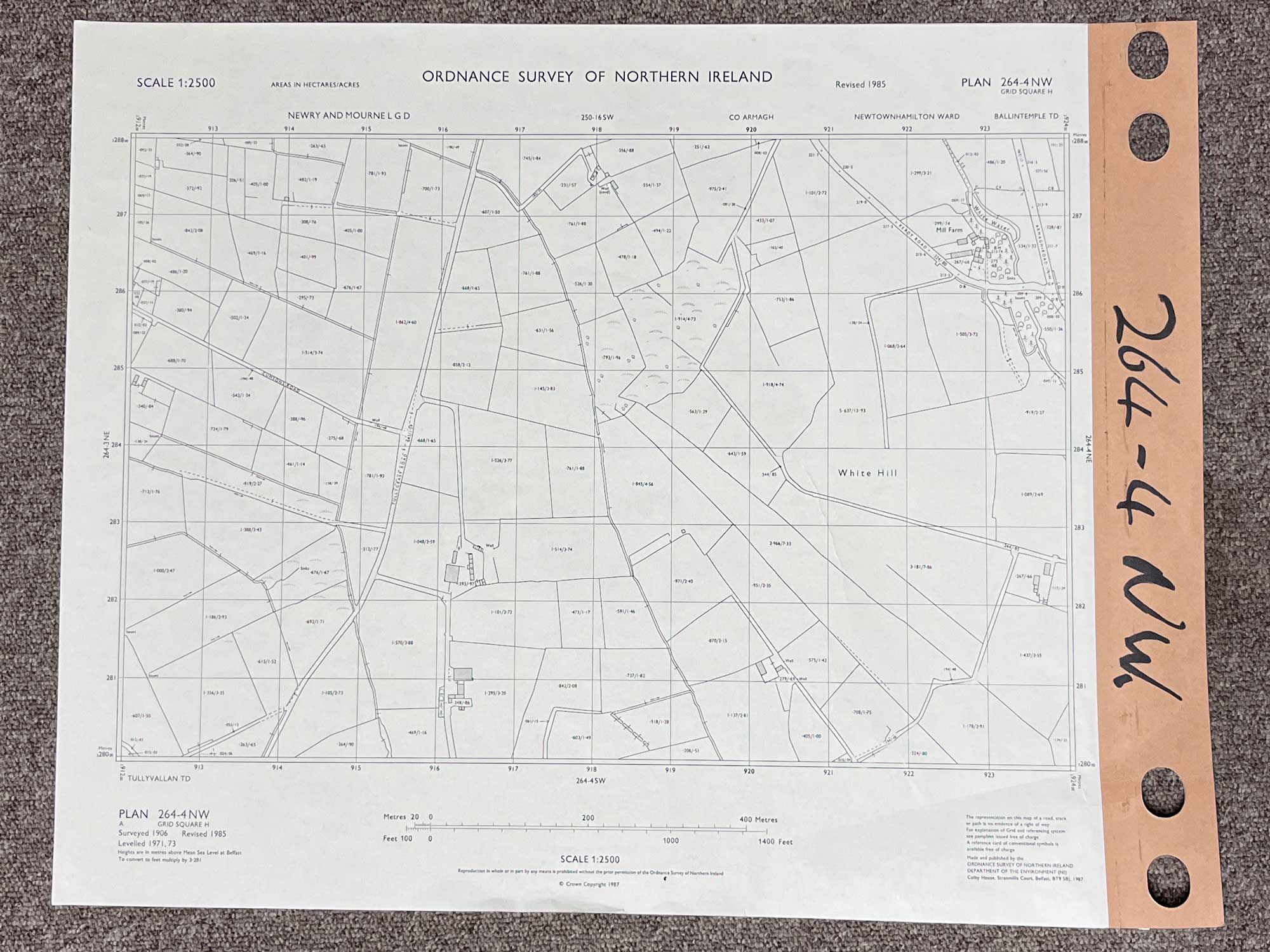
Plan 264-4 NW, Grid Square H
Surveyed 1906, revised 1985
1:2500 scale
The map covers Tullgyeasy Road, and parts of Keady Road and Armagh Road
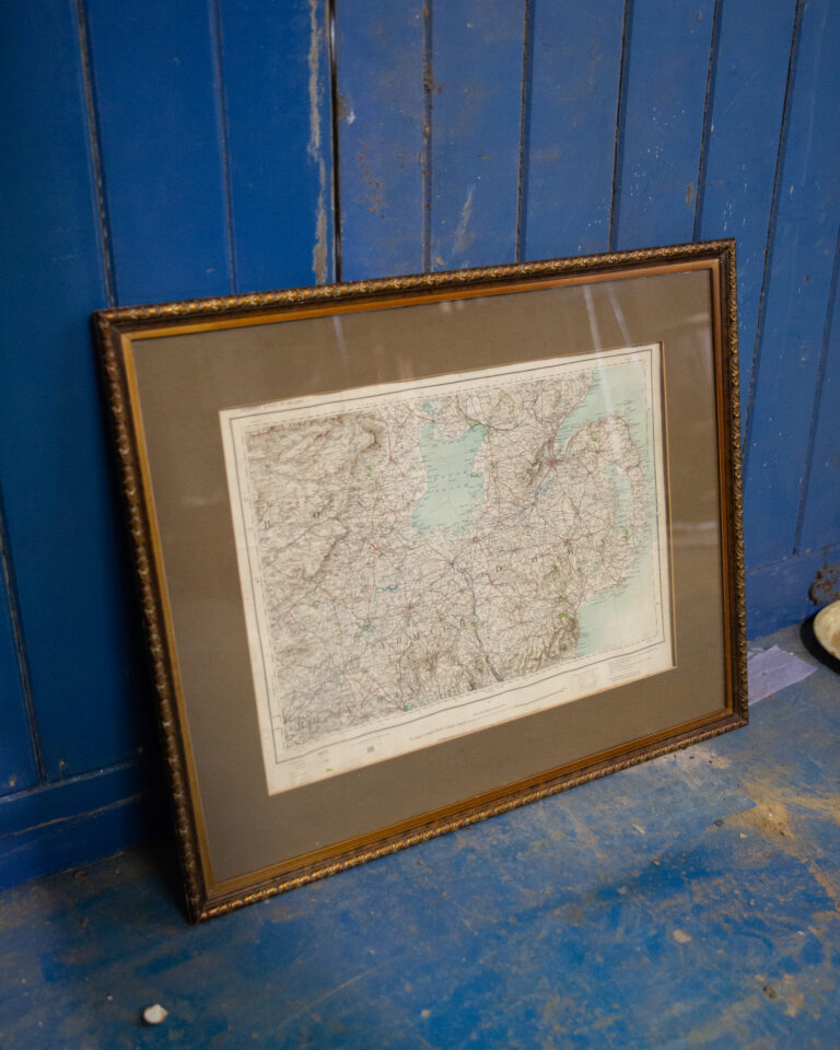
Dimensions: Length 58cm x 46cm (approx.)
Approximate area:
Have a question about this piece? Need more details or photos? Fill out the form below and we'll get back to you as soon as possible.