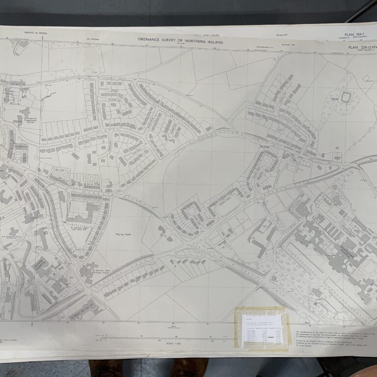
Plan 147-7 NW2, Grid Square J
Surveyed 1955, revised 1970
1:1250 scale
This detailed map covers an area of Castlereagh, between Ballygowan Road and Upper Knockbreda Road
Landmarks include Leadhill Primary School and Casaeldona Housing Estate
Dimensions: Length 60cm x 43cm (approx.)
Approximate area:
To keep up to date with all that goes on at the Emporium follow us on Facebook or Instagram.
On The Square Emporium is one of Ireland’s Largest Antiques shops stocking thousands of vintage and antique items including Edwardian, Georgian and Victorian furniture, desirable collectibles and stunning decor ideas for your home. Can’t find what you are looking for? Contact our team for help on sourcing it!
Have a question about this piece? Need more details or photos? Fill out the form below and we'll get back to you as soon as possible.