1 / 7
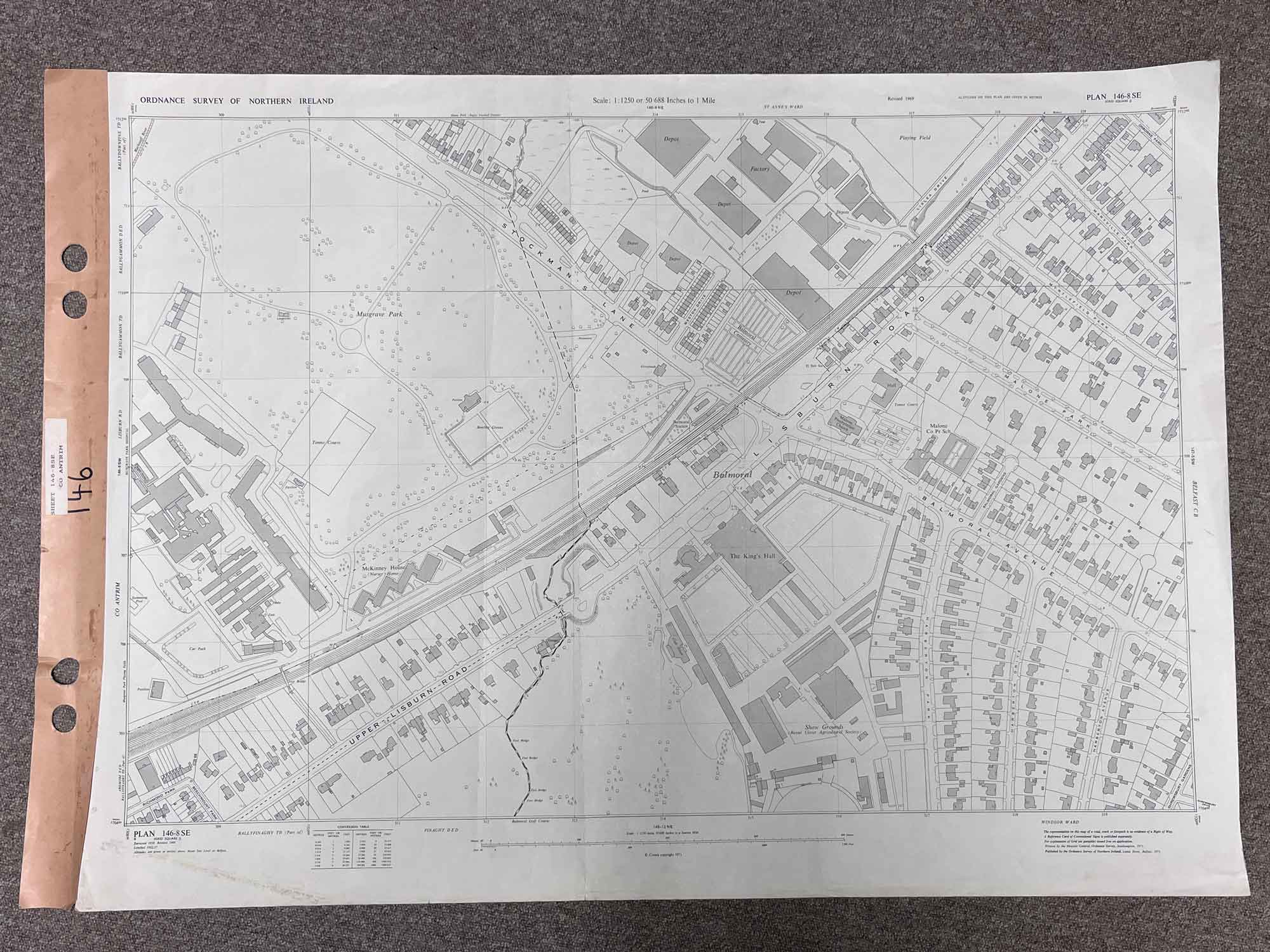
Plan 146-8 SE, Grid Square J
Surveyed 1969
1:1250 scale
Map covers Lisburn Road and Upper Lisburn Road
Landmarks include The King's Hall, McKinney House, Balmoral Cemetery and Malone Presbyterian Church
Dimensions: Length 108cm x 76cm (approx.)
Approximate area:
Have a question about this piece? Need more details or photos? Fill out the form below and we'll get back to you as soon as possible.