1 / 5
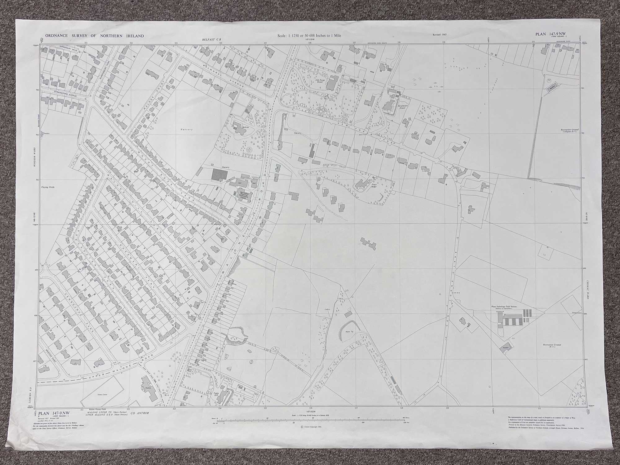
Plan 147-9 NW, Grid Square J
Surveyed 1957, revised 1965
1:1250 scale
Map covers the Malone Road, part of the Upper Malone Road, New Forge Lane, and part of Balmoral Avenue
Landmarks include Old Forge House, McCracken Memorial Presbyterian Church, Strathearn House, Plant Pathology Field Station and part of the old Collegians sports club
Dimensions: Length 104cm x 75cm (approx.)
Approximate area:
Have a question about this piece? Need more details or photos? Fill out the form below and we'll get back to you as soon as possible.