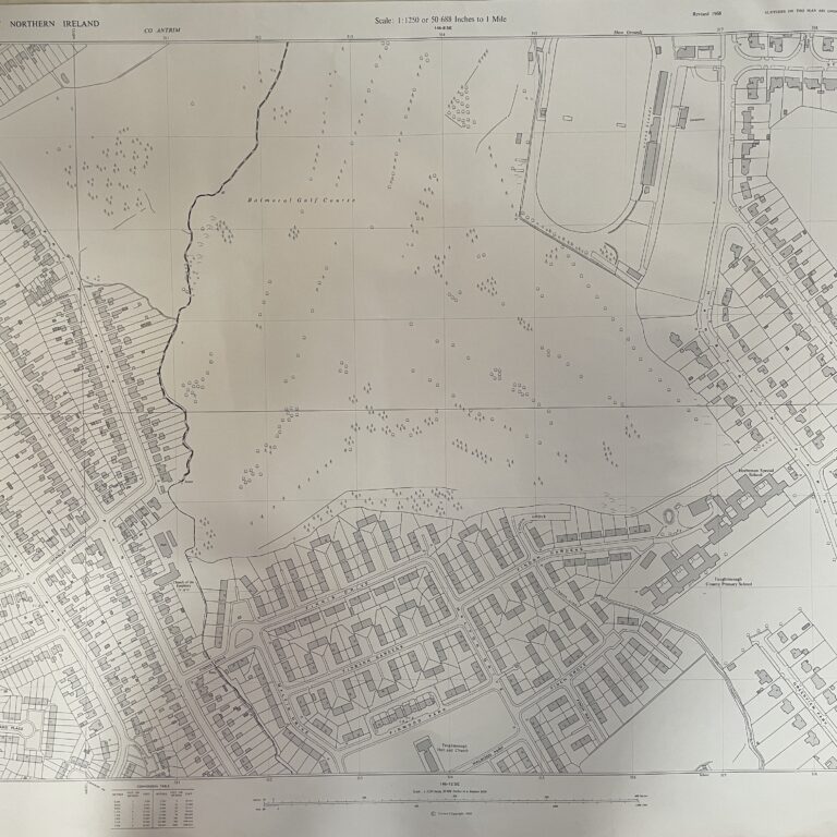
No scale stated, but the map covers most of Bangor city, Northern Ireland
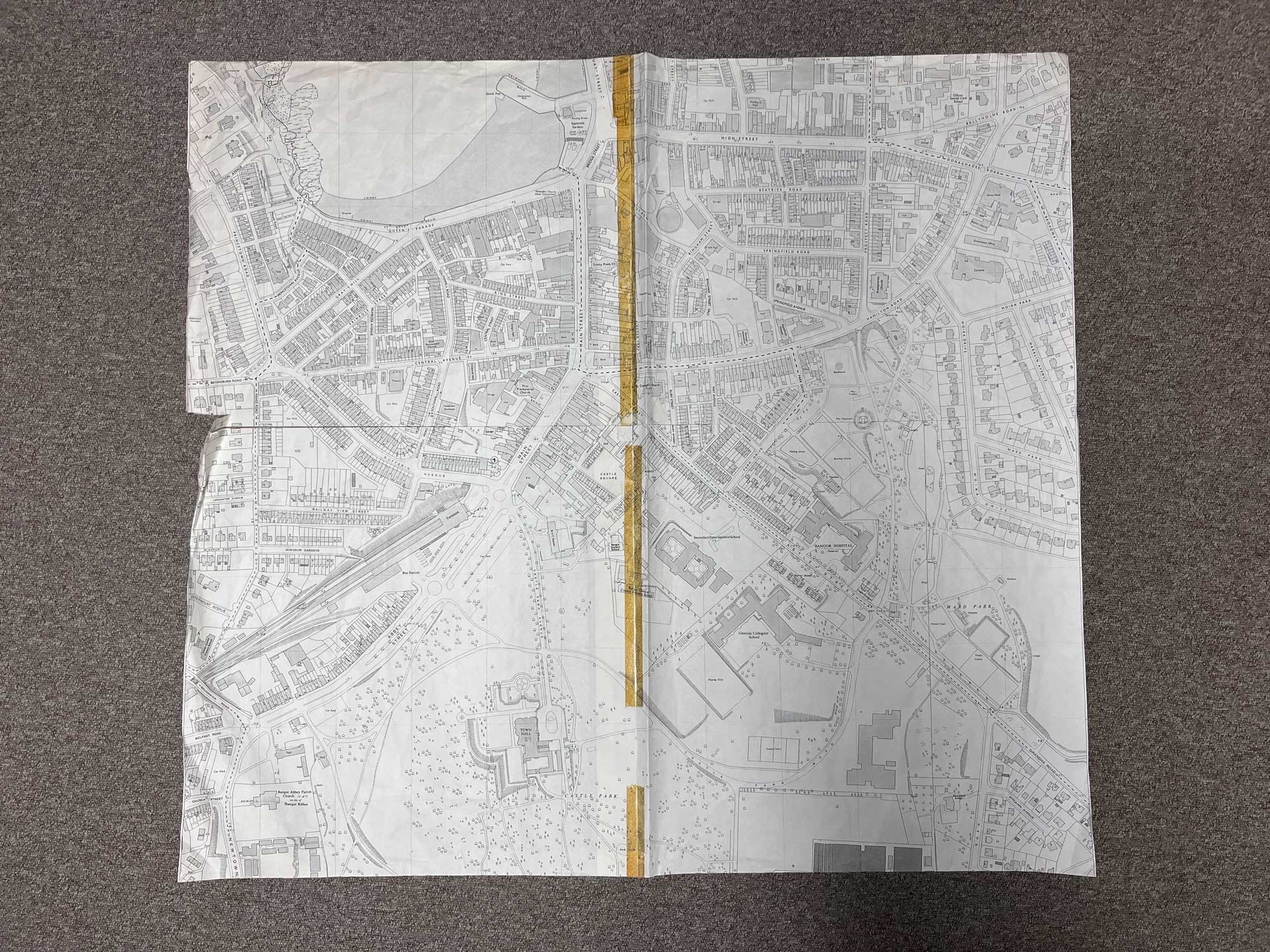
This detailed map covers everything from Bangor Marina in the top left, all the way across to Ward Park in the bottom right
Landmarks include Esplanade Gardens, Bangor Terminus, First Presbyterian Church, Bangor Abbey, Town Hall, RUC station, Bangor Central County Primary School, Glenlola Collegiate School, Bangor Hospital, Cinema, Savoy Hotel and much more
The map is essentially 4 sections carefully pieced together by the previous owner to form one map (light brown tape on the front, masking tape on the reverse)
Dimensions: Length 96cm x 89cm (approx.)
Approximate area:
Have a question about this piece? Need more details or photos? Fill out the form below and we'll get back to you as soon as possible.