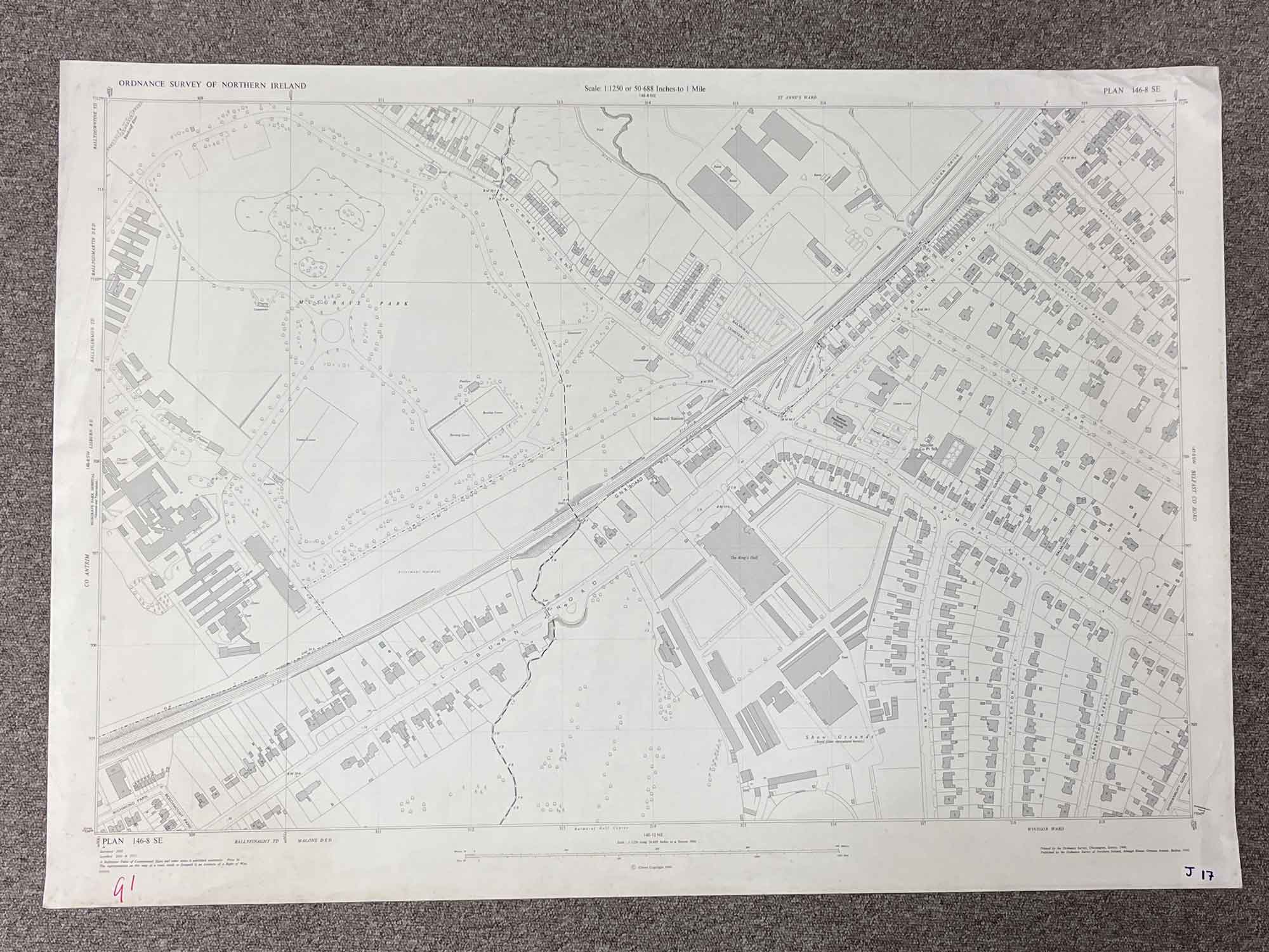


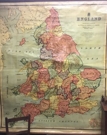
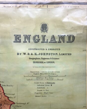
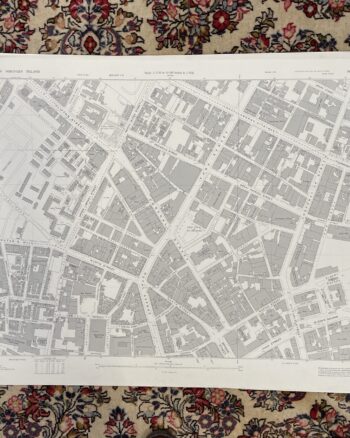
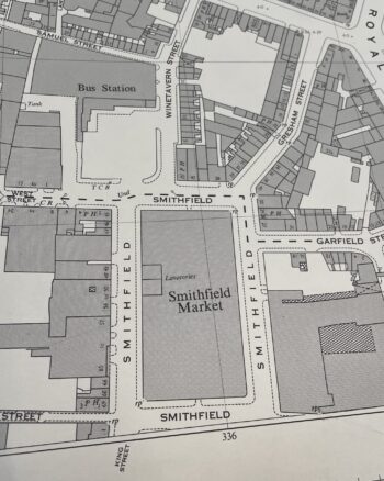
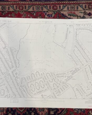
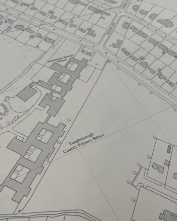
Vintage 1958 Ordnance Survey Map of Balmoral
£35.00
Only 1 left in stock
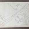
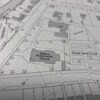
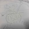
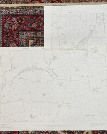
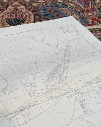
Plan 146-8 SE
Surveyed 1958
1:1250 scale
Map covers Lisburn Road, Stockmans Lane and Balmoral Avenue
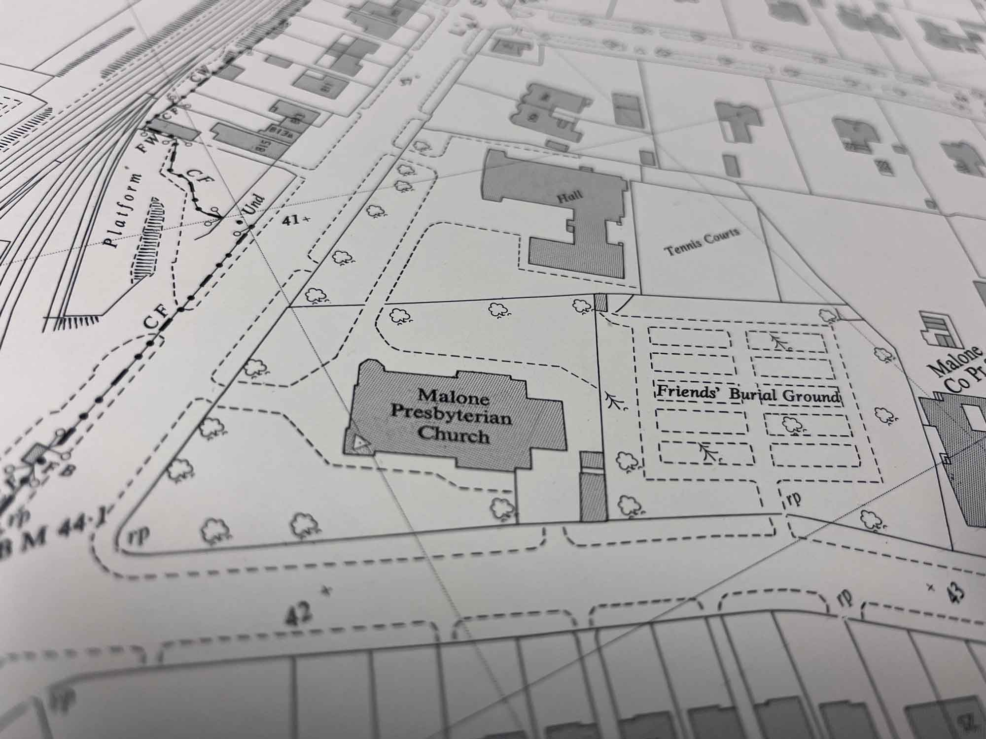
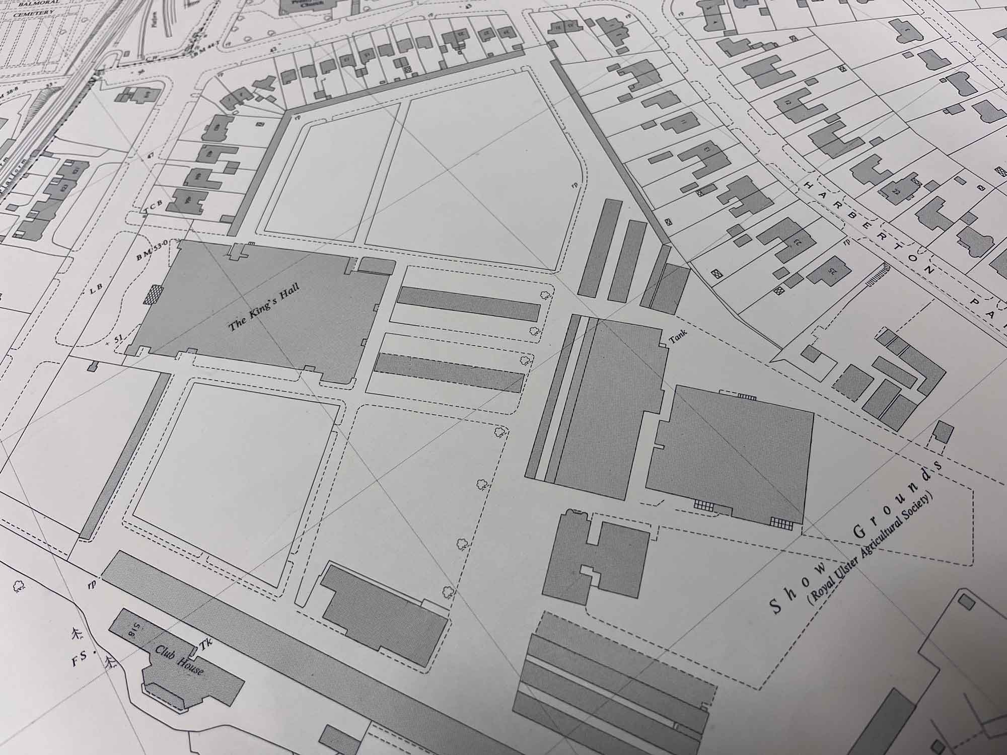
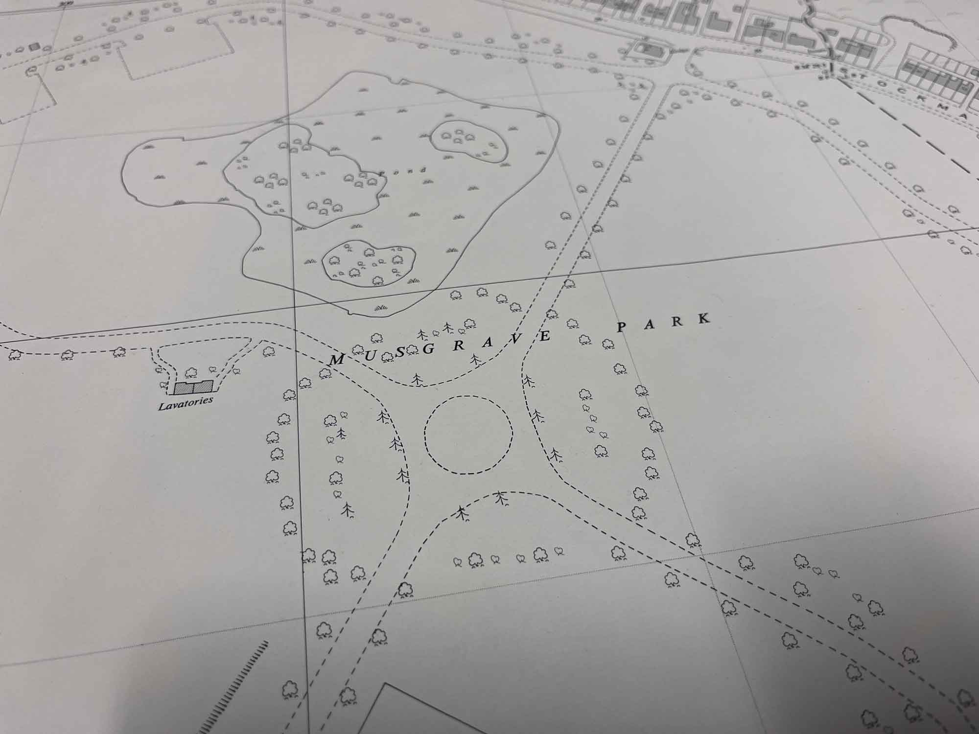
Landmarks include The King’s Hall, Musgrave Park, Malone Presbyterian Church and Malone Primary School
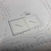
Dimensions: Length 108cm x 76cm (approx.)
Approximate area:
Enquire about Vintage 1958 Ordnance Survey Map of Balmoral
Related products
Wall Art
£350.00


£35.00


£30.00


£35.00
£30.00
£35.00
£25.00


£30.00


£35.00
£30.00
![Historical [pictorial] Map of Ireland](https://onthesquareemporium.com/wp-content/uploads/2021/10/31D8FDD5-7B3D-4826-BAD5-26BDC5DE8869-rotated-350x438.jpeg)

£395.00


£30.00