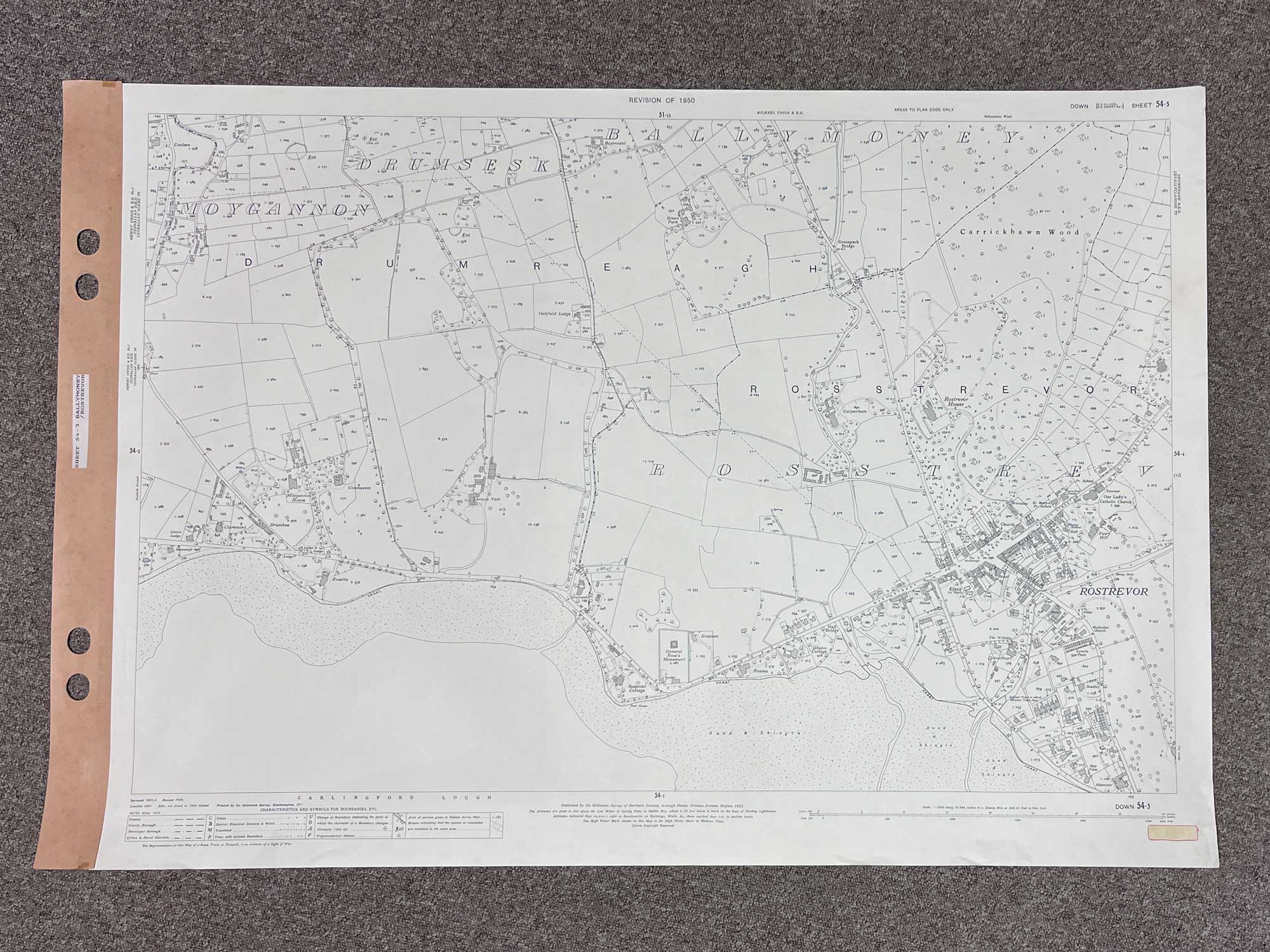
1 / 5
Down, Sheet 54-3
Surveyed 1901, revised 1950
1:2500 scale
The map covers a considerable portion of the Carlingford Lough coastline, starting just east of Warrenpoint, all the way to Rostrevor
Landmarks include Moygannon House, General Ross's Monument, Carrickbawn Wood and Rostrevor House
Dimensions: Length 109cm x 74cm (approx.)
Approximate area:
Have a question about this piece? Need more details or photos? Fill out the form below and we'll get back to you as soon as possible.
![Historical [pictorial] Map of Ireland](https://onthesquareemporium.com/wp-content/uploads/2021/10/31D8FDD5-7B3D-4826-BAD5-26BDC5DE8869-768x768.jpeg)