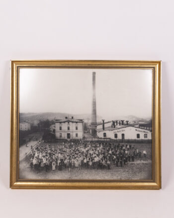
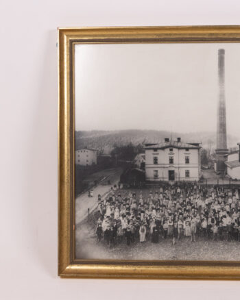
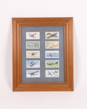
Wall Art
 Our collection of vintage wall art help to add character to any room, with paintings , posters and prints available.
Our wall art include cast iron signage , vintage artwork , enamel signs and vintage advertising, suitable for all rooms from mancaves to living rooms.
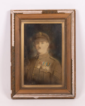
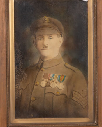
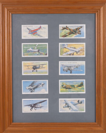
Our collection of vintage wall art help to add character to any room, with paintings , posters and prints available.
Our wall art include cast iron signage , vintage artwork , enamel signs and vintage advertising, suitable for all rooms from mancaves to living rooms.