1 / 4
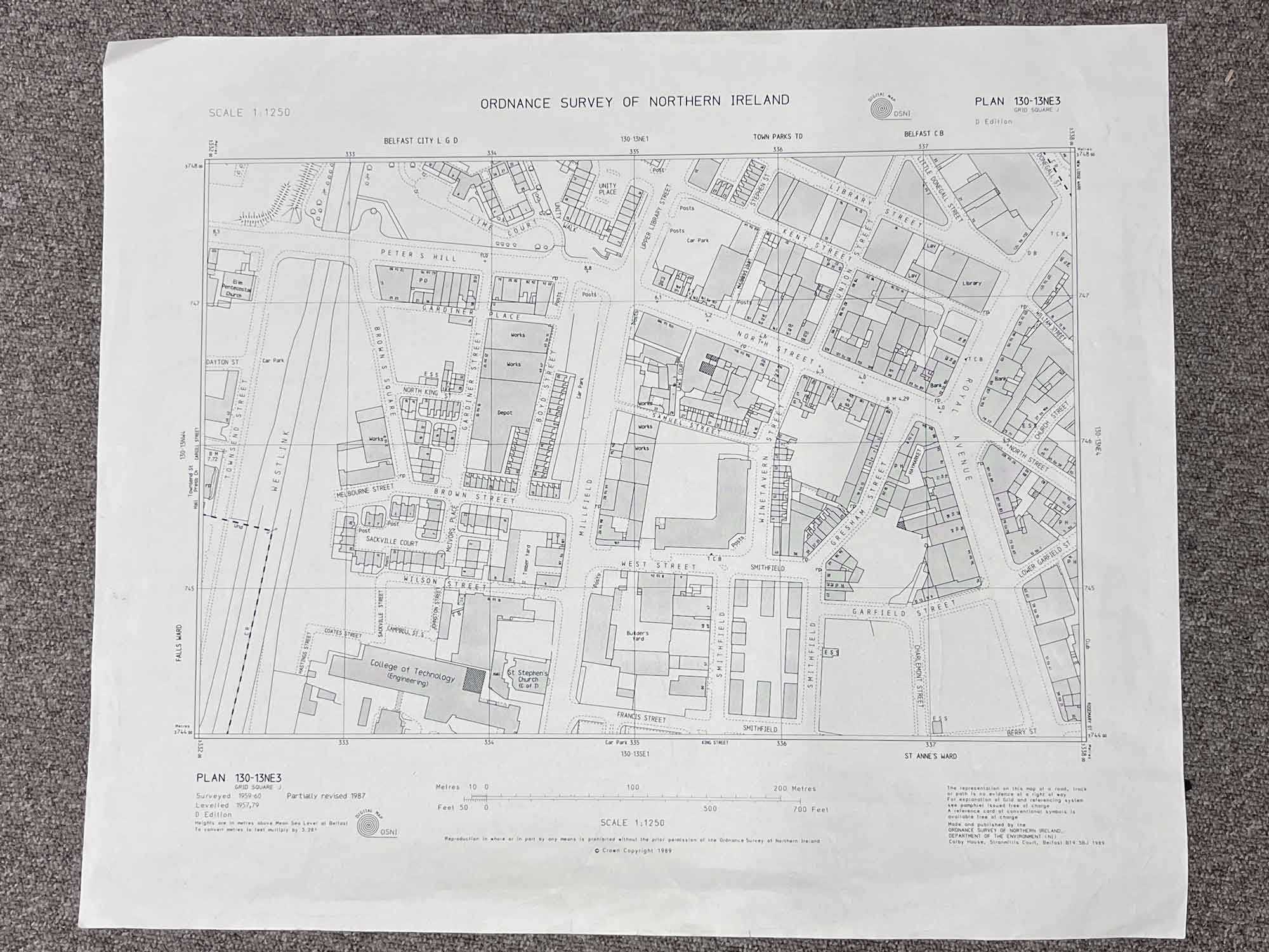
Plan 130-13 NE3
Surveyed 1959-1960, partially revised 1987
Published in 1989
1:1250 scale
The map covers a portion of the BT1 area between Townsend Street and Church Street
Landmarks include the Westlink, College of Technology, St. Stephens Church, Millfield, Smithfield and Royal Avenue
Dimensions: Length 55cm x 46cm (approx.)
Approximate area:
Have a question about this piece? Need more details or photos? Fill out the form below and we'll get back to you as soon as possible.