1 / 6
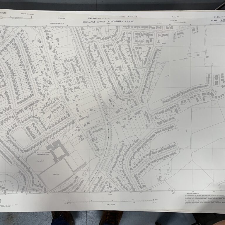
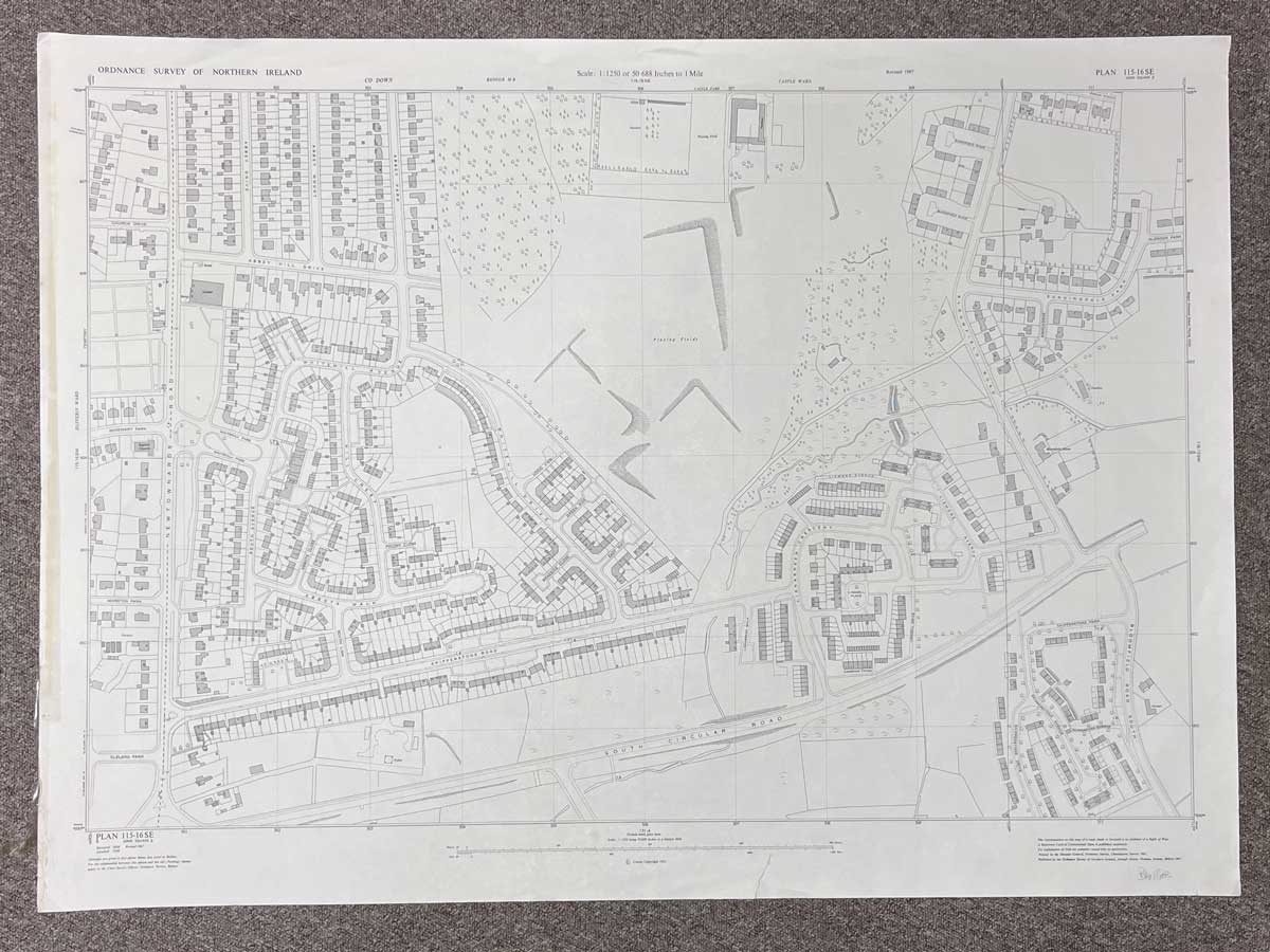
Plan 115-16 SE, Grid Square J
Surveyed 1959, revised 1967
Printed 1967
1:1250 scale
The map covers an area between Newtownards Road to Bloomfield Road
Landmarks include South Circular Road, Abbey Hill Drive, Whitehill Drive, Skipperstone Road, Sunningdale Park and various other streets and avenues.
Dimensions: Length 105cm x 76cm (approx.)
Approximate area:
Have a question about this piece? Need more details or photos? Fill out the form below and we'll get back to you as soon as possible.