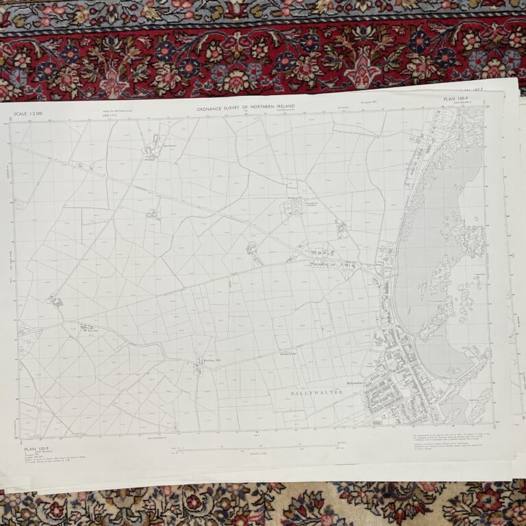
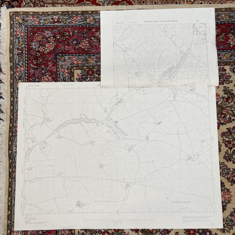
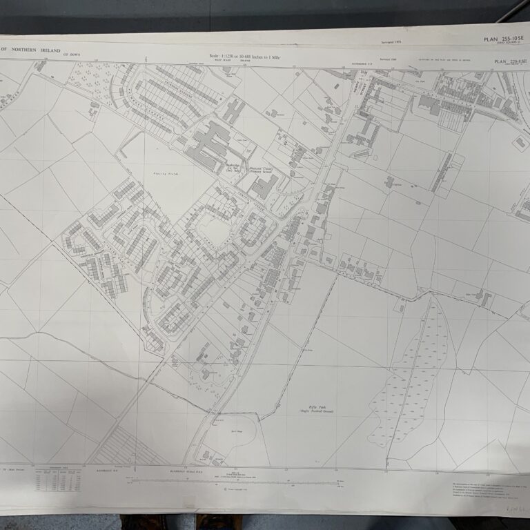
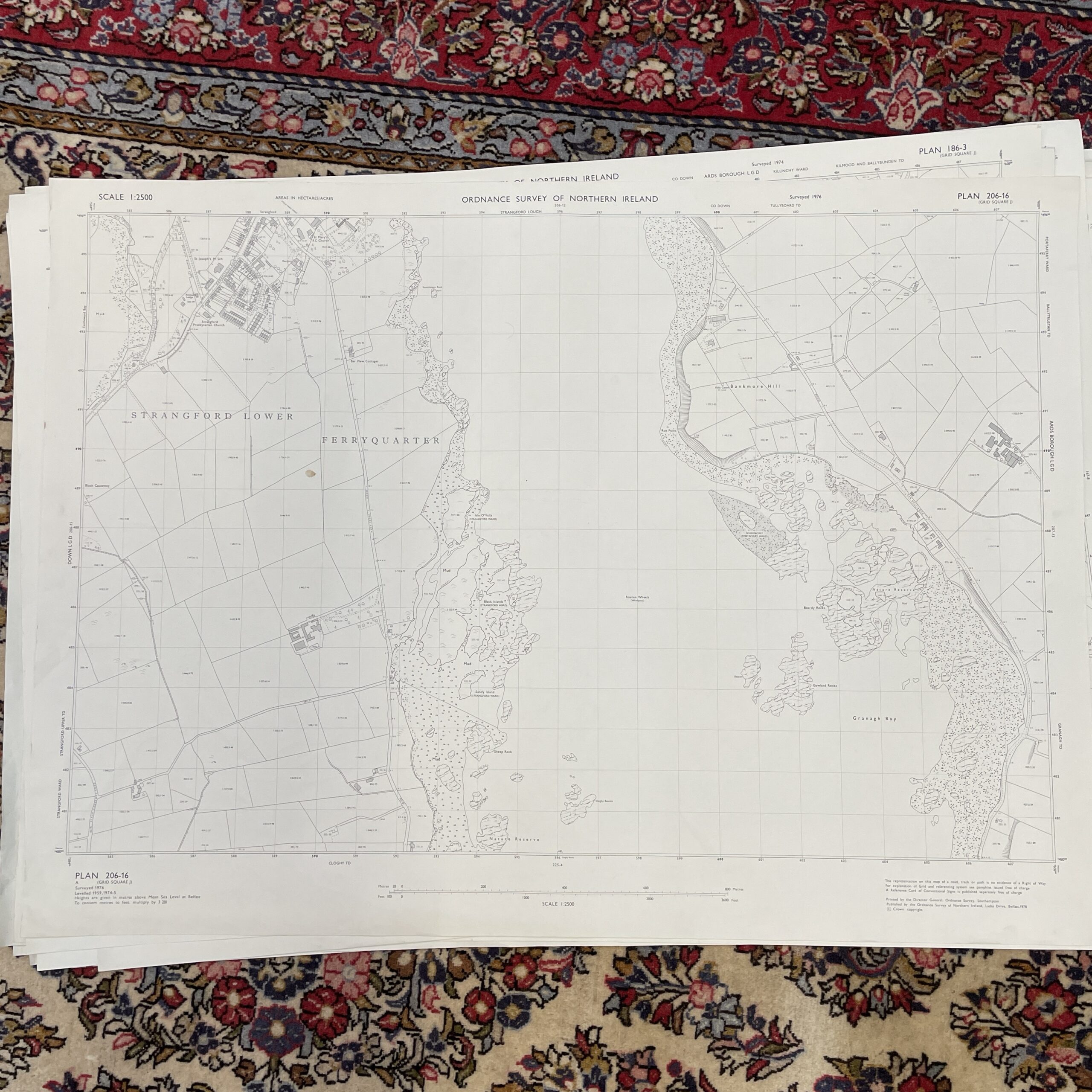
Skip to content
Vintage Ordnance Survey Map of Strangford Lower
1 / 4
Maps

Vintage Ordnance Survey Map of Strangford Lower

£30.00
Out of Stock
| SKU: 110260

This item is currently out of stock

Check back soon or contact us for availability

Secure Packaging

Authentic Antiques

Expert Support

An ordnance survey map of Strangford Lower, Northern Ireland. Surveyed 1976.

103cm x 75cm.

View our full range of maps or view our collection and antiques and curiosities.

Follow us on Facebook and Instagram to keep up to date.


Have a question about this piece? Need more details or photos? Fill out the form below and we'll get back to you as soon as possible.

    Your Name (required)

    Your Email (required)

    Subject

    Your Message