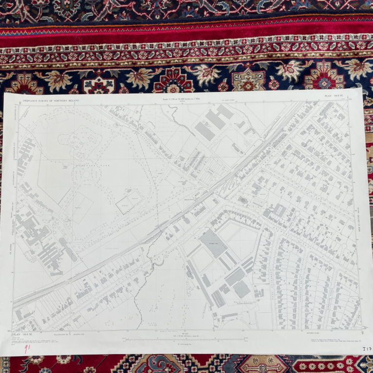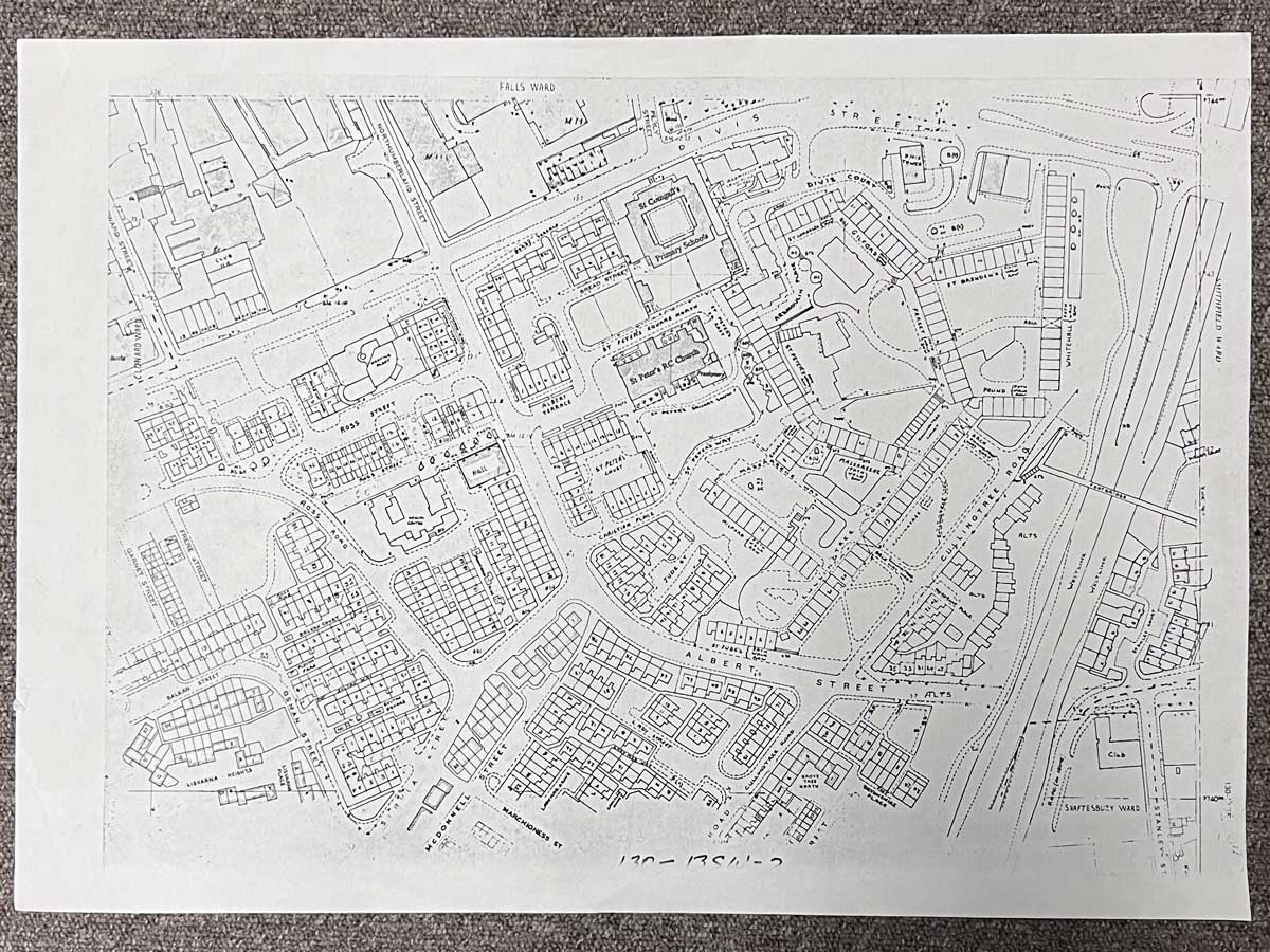
Plan 130-13SW
The map covers the area between Falls Road and the Westlink
Landmarks include Divis Street, Northumberland Street, Servia Street, Albert Street, Cullingtree Road, St. Peter's Church and St. Comgall's Primary School
Dimensions: Length 57cm x 41cm (approx.)
Approximate area:
To keep up to date with all that goes on at the Emporium follow us on Facebook or Instagram.
On The Square Emporium is one of Ireland’s Largest Antiques shops stocking thousands of vintage and antique items including Edwardian, Georgian and Victorian furniture, desirable collectibles and stunning decor ideas for your home. Can’t find what you are looking for? Contact our team for help on sourcing it!
Have a question about this piece? Need more details or photos? Fill out the form below and we'll get back to you as soon as possible.