1 / 4
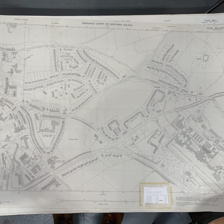
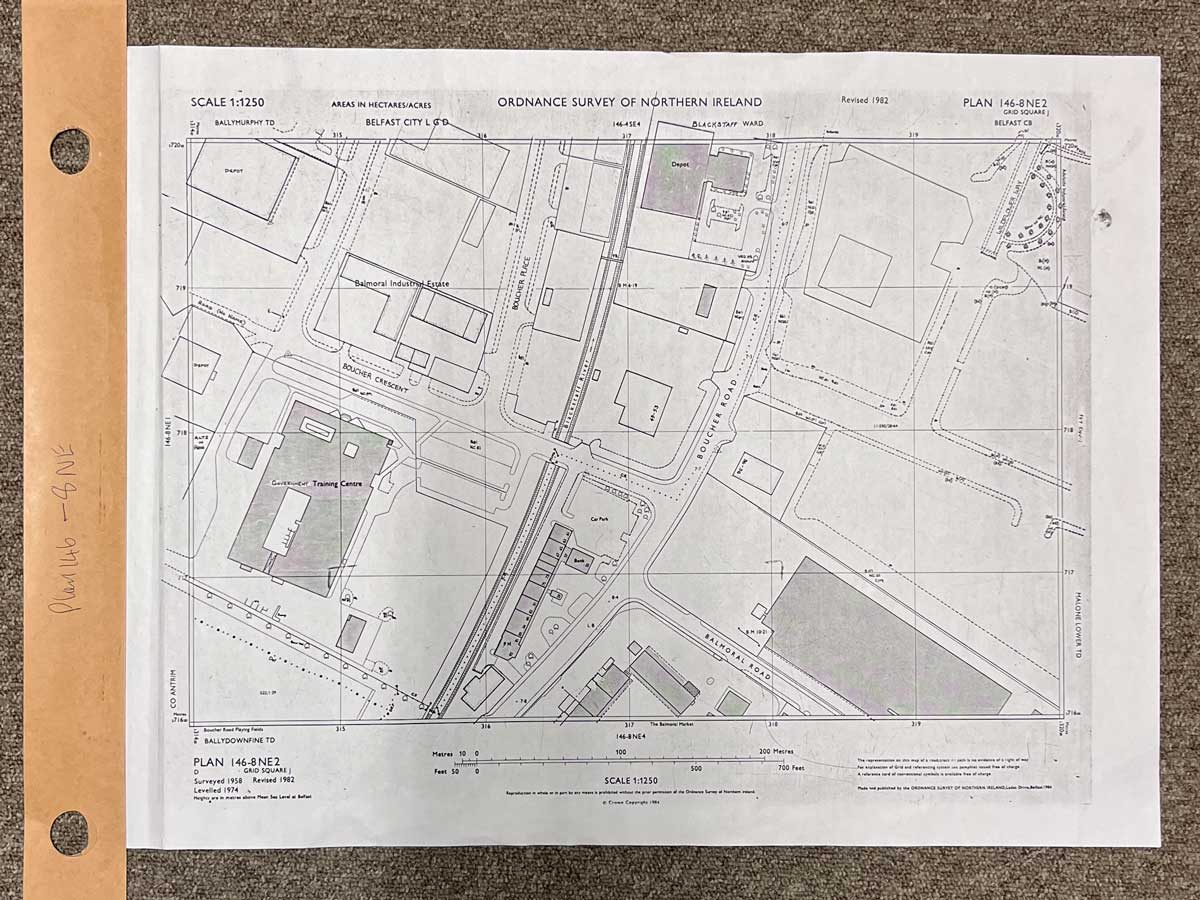
Plan 146-8 NE2, Grid Square J
Surveyed 1958, revised 1982
Printed 1984
1:1250 scale
The map covers a portion of Boucher Road, Belfast
Landmarks include Boucher Crescent, Government Training Centre, Blackstaff River, Boucher Place, Boucher Road, Balmoral Road and Wildflower Way
Dimensions: Length 60cm x 45cm (approx.)
Approximate area:
Have a question about this piece? Need more details or photos? Fill out the form below and we'll get back to you as soon as possible.