1 / 3
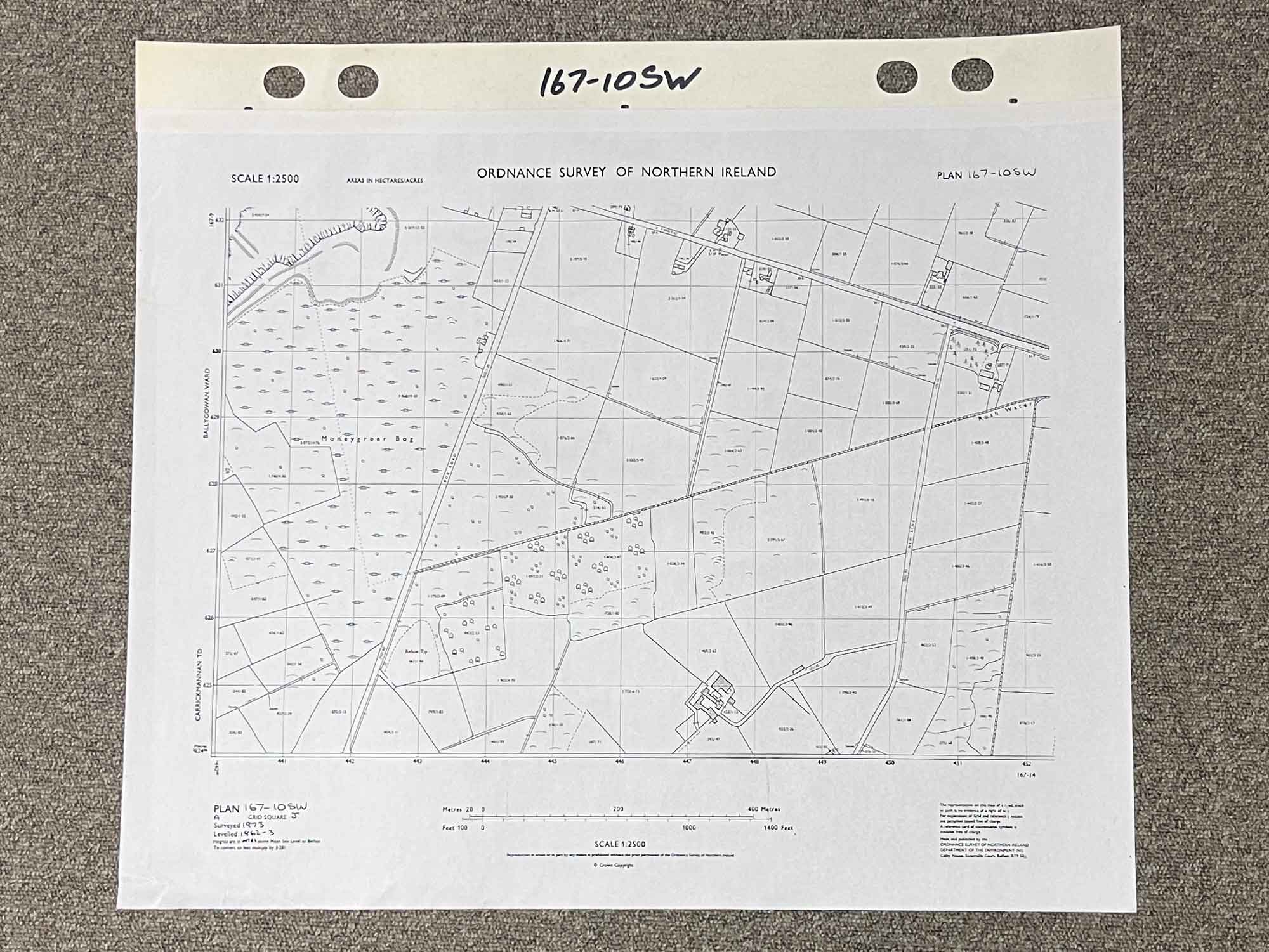
Plan 167-10 Sw, Grid Square J
Surveyed 1973
1:2500 scale
Map covers Bog Road and New Line, between Ballygowan and Drumreagh
Moneygreer Bog is the most distinct landmark
Dimensions: Length 60cm x 53cm (approx.)
Approximate area:
Have a question about this piece? Need more details or photos? Fill out the form below and we'll get back to you as soon as possible.

![Historical [pictorial] Map of Ireland](https://onthesquareemporium.com/wp-content/uploads/2021/10/31D8FDD5-7B3D-4826-BAD5-26BDC5DE8869-768x768.jpeg)