1 / 8
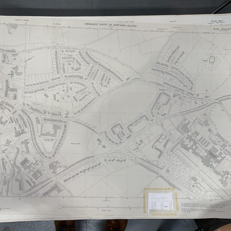
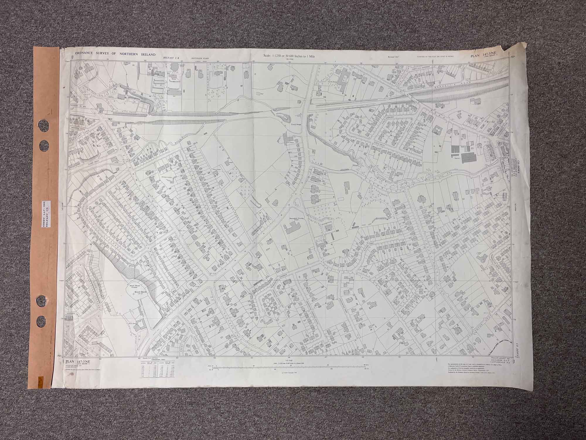
Plan 147-3 NE, Grid Square J
Surveyed 1967
1:1250 scale
Map covers both sides of the Knock Road.
The area is just south of Stormont and north of Shandon Park Golf Club (both landmarks just outside this map area)
Dimensions: Length 107cm x 73cm (approx.)
Approximate area:
Have a question about this piece? Need more details or photos? Fill out the form below and we'll get back to you as soon as possible.